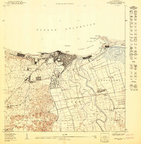
1950 Map of Arecibo NO
USGS Topo · Published 1950About this map
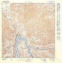
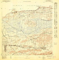
The industrial and agricultural center of Central Cambalache anchors the southern landscape of this coastal survey, where the Rio Grande de Arecibo winds toward the Atlantic. In the mid-twentieth century, Arecibo served as a vital hub for northern Puerto Rico, its dense urban core bounded by the coastal road La Marina and the neighborhood of El Vigía. The American Railroad cuts through the region, connecting the Estación Arecibo with the sugar processing facilities of the southern barrios.
Find a feature on this map
44 named features on this map. Tap any name to fly to it.
Don’t see what you’re looking for? This feature index may not catch every label — zoom into the map to look around manually.
Map Details
Editions of this 1950 Arecibo NO Map
This is the sole edition of this map. No revisions or reprints were ever made.
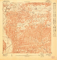
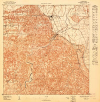
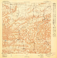
Historical Maps of Arecibo Through Time
9 maps found

1943 Utuado NE
Arecibo Municipio, PR
1947 Arecibo SE
Arecibo Municipio, PR
1947 Arecibo SO
Arecibo Municipio, PR
1947 Barceloneta SO
Arecibo Municipio, PR
1947 Florida NO
Arecibo Municipio, PR
1947 Utuado NE
Arecibo Municipio, PR
1947 Utuado NO
Arecibo Municipio, PR
1950 Arecibo NE
Arecibo Municipio, PR
1950 Arecibo NO
Arecibo Municipio, PR