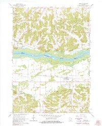
1962 Map of Arena
USGS Topo · Published 1982About this map
The Wisconsin River defines the landscape of this 1962 survey, separating the high bluffs of Troy and Spring Green from the flat expanse of Arena Prairie. This broad valley floor is home to the village of Arena, a hub centered on the Chicago Milwaukee St Paul and Pacific railroad line. The map captures the agricultural character of the region during the early 1960s, showing a transition from the rugged northern hills like Point Bluff to the fertile bottomlands where smaller settlements like Cassell and Coon Rock reside.
Find a feature on this map
26 named features on this map. Tap any name to fly to it.
Don’t see what you’re looking for? This feature index may not catch every label — zoom into the map to look around manually.
Map Details
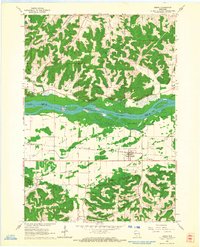
Editions of this 1962 Arena Map
2 editions found
Other maps of this area

1901 · Denzer
USGS Topo · 1:62,500

1905 · Richland Center
USGS Topo · 1:125,000

1920 · Blue Mounds
USGS Topo · 1:62,500

1922 · Blue Mounds
USGS Topo · 1:62,500

1957 · Madison
USGS Topo · 1:250,000

1958 · North Freedom
USGS Topo · 1:62,500

1958 · La Crosse
USGS Topo · 1:250,000

1960 · Madison
USGS Topo · 1:250,000

1960 · Plain
USGS Topo · 1:62,500

1960 · Spring Green
USGS Topo · 1:62,500