
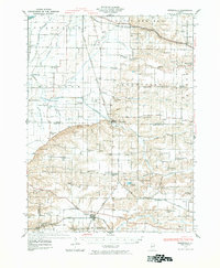
1929 Map of Arenzville
USGS Topo · Published 1969About this map
Indian Creek and Prairie Creek wind through a landscape dominated by the agricultural and railroad networks of central Illinois during the late 1920s. The village of Arenzville serves as a central hub, where the Chicago Burlington and Quincy RR intersects with local life. Further south, the Wabash RR passes through Chapin and Bethel, while the Baltimore and Ohio RR tracks skirt the northern edge near Bluff Springs.
Find a feature on this map
96 named features on this map. Tap any name to fly to it.
Don’t see what you’re looking for? This feature index may not catch every label — zoom into the map to look around manually.
Map Details
Editions of this 1929 Arenzville Map
2 editions found
Other maps of this area

1923 · Rushville
USGS Topo · 1:62,500

1924 · Winchester
USGS Topo · 1:48,000

1924 · Griggsville
USGS Topo · 1:62,500

1926 · Griggsville
USGS Topo · 1:62,500

1926 · Beardstown
USGS Topo · 1:62,500

1926 · Winchester
USGS Topo · 1:62,500

1926 · Rushville
USGS Topo · 1:62,500

1928 · Meredosia
USGS Topo · 1:62,500

1930 · Chandlerville
USGS Topo · 1:62,500

1931 · Meredosia
USGS Topo · 1:62,500