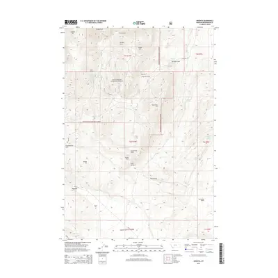
2014 Map of Argenta
USGS Topo · Published 2014About this map
Argenta sits at the base of the Pioneer Mountains, serving as a focal point for this survey of southwestern Montana. The settlement is positioned along Rattlesnake Cr, where the mountainous terrain of the Beaverhead National Forest transitions into the broad Argenta Flats. The landscape is defined by a dense network of gulches and peaks, such as Quartz Hill and Humbolt Mtn, which long drew interest for their geological potential.
Find a feature on this map
36 named features on this map. Tap any name to fly to it.
Don’t see what you’re looking for? This feature index may not catch every label — zoom into the map to look around manually.
Map Details
Editions of this 2014 Argenta Map
This is the sole edition of this map. No revisions or reprints were ever made.
Other maps of this area

1893 · Dillon
USGS Topo · 1:250,000

1952 · Twin Adams Mountain
USGS Topo · 1:24,000

1952 · Argenta
USGS Topo · 1:24,000

1952 · Bannack
USGS Topo · 1:24,000

1952 · Burns Mountain
USGS Topo · 1:24,000

1952 · Torrey Mountain
USGS Topo · 1:24,000

1952 · Ermont
USGS Topo · 1:24,000

1955 · Dillon
USGS Topo · 1:250,000

1957 · Dillon
USGS Topo · 1:250,000

1958 · Dillon
USGS Topo · 1:250,000