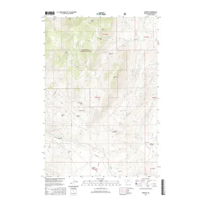
2017 Map of Argenta
USGS Topo · Published 2017About this map
Argenta serves as the focal point of this mountainous region in Beaverhead County, situated along the banks of Rattlesnake Cr. The landscape is defined by its numerous drainages and high peaks, including Humbolt Mtn and Canyon Mtn in the north and the prominent Quartz Hill to the west. Much of the northern terrain falls within the Beaverhead National Forest, where a network of seasonal water sources like Cave Gulch Spring and Dutchman Spring feed into deeper canyons.
Find a feature on this map
36 named features on this map. Tap any name to fly to it.
Don’t see what you’re looking for? This feature index may not catch every label — zoom into the map to look around manually.
Map Details
Editions of this 2017 Argenta Map
This is the sole edition of this map. No revisions or reprints were ever made.
Other maps of this area

1893 · Dillon
USGS Topo · 1:250,000

1952 · Twin Adams Mountain
USGS Topo · 1:24,000

1952 · Argenta
USGS Topo · 1:24,000

1952 · Bannack
USGS Topo · 1:24,000

1952 · Burns Mountain
USGS Topo · 1:24,000

1952 · Torrey Mountain
USGS Topo · 1:24,000

1952 · Ermont
USGS Topo · 1:24,000

1955 · Dillon
USGS Topo · 1:250,000

1957 · Dillon
USGS Topo · 1:250,000

1958 · Dillon
USGS Topo · 1:250,000