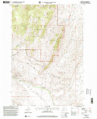
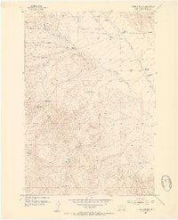
1997 Map of Argenta
USGS Topo · Published 2002About this map
Mining heritage defines the landscape of Argenta in the late 20th century, where the remnants of a silver and lead boom remain etched into the terrain of the Beaverhead National Forest. This 1997 revision documents a dense network of extraction sites surrounding the settlement, including the Tuscarora Mine, Anaconda Mine, and Ferdinand Mine. The Site of Seligman Smelter stands as a marker of the industrial processing that once drove the local economy along Rattlesnake Creek.
Find a feature on this map
47 named features on this map. Tap any name to fly to it.
Don’t see what you’re looking for? This feature index may not catch every label — zoom into the map to look around manually.
Map Details
Editions of this 1997 Argenta Map
This is the sole edition of this map. No revisions or reprints were ever made.
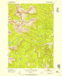
Other maps of this area

1893 · Dillon
USGS Topo · 1:250,000
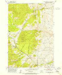
1952 · Twin Adams Mountain
USGS Topo · 1:24,000
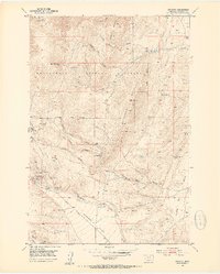
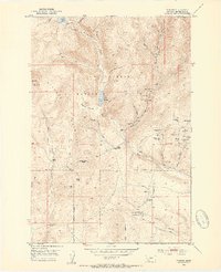
1952 · Argenta
USGS Topo · 1:24,000
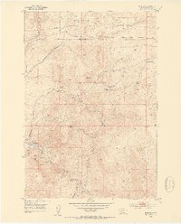
1952 · Bannack
USGS Topo · 1:24,000
1952 · Burns Mountain
USGS Topo · 1:24,000
1952 · Torrey Mountain
USGS Topo · 1:24,000
1952 · Ermont
USGS Topo · 1:24,000

1955 · Dillon
USGS Topo · 1:250,000

1957 · Dillon
USGS Topo · 1:250,000

1958 · Dillon
USGS Topo · 1:250,000