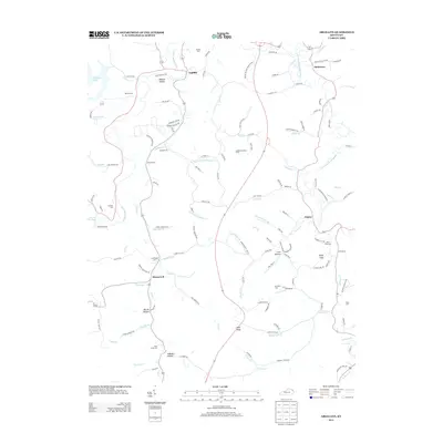
2013 Map of Argillite
USGS Topo · Published 2013About this map
The Little Sandy River winds through the hills of Greenup County, anchoring a landscape defined by small rural settlements and an intricate network of narrow valleys. The community of Argillite sits at a prominent bend in the river, while smaller clusters like Hunnewell and Naples mark the historical path of local commerce and residence. Higher elevations are punctuated by features like the Argillite Lookout Tower and High Knob, providing vantage points over the heavily dissected terrain of Wildcat Hollow and Pleasant Vly.
Find a feature on this map
125 named features on this map. Tap any name to fly to it.
Don’t see what you’re looking for? This feature index may not catch every label — zoom into the map to look around manually.
Map Details
Editions of this 2013 Argillite Map
This is the sole edition of this map. No revisions or reprints were ever made.
Other maps of this area

1898 · Ironton
USGS Topo · 1:62,500

1900 · Ironton
USGS Topo · 1:62,500

1901 · Ceredo
USGS Topo · 1:62,500

1903 · Kenova
USGS Topo · 1:125,000

1904 · Kenova
USGS Topo · 1:125,000

1913 · Ceredo
USGS Topo · 1:62,500

1926 · Greenup
USGS Topo · 1:48,000

1930 · Greenup
USGS Topo · 1:62,500

1953 · Grayson
USGS Topo · 1:24,000

1953 · Oldtown
USGS Topo · 1:24,000