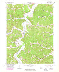
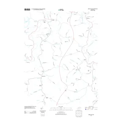
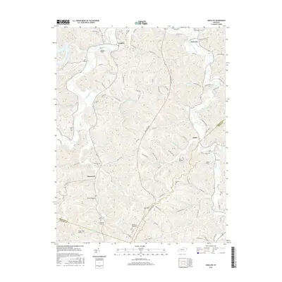
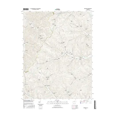
1972 Map of Argillite
USGS Topo · Published 1978About this map
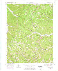
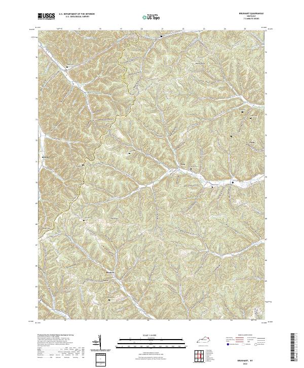
The Little Sandy River cuts through the deeply dissected plateau of Greenup County, anchoring a landscape shaped by both early industry and late-century recreation. Evidence of the region’s iron-making heritage is preserved at the Furnace Ruins near Hunnewell, while the hilltop Argillite Lookout Tower and a Radio Tower on High Knob oversee the winding valleys below. The community of Argillite sits at a bend in the river, serving as a hub for the scattered settlements of Danleyton, Naples, and Logtown.
Find a feature on this map
66 named features on this map. Tap any name to fly to it.
Don’t see what you’re looking for? This feature index may not catch every label — zoom into the map to look around manually.
Map Details
Editions of this 1972 Argillite Map
2 editions found
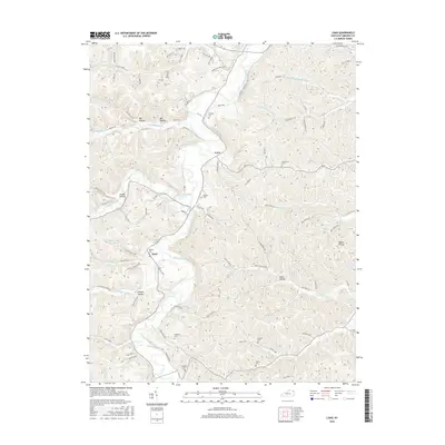
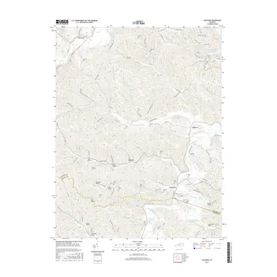
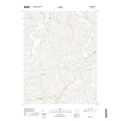
Historical Maps of Argillite Through Time
26 maps found
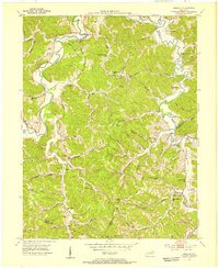
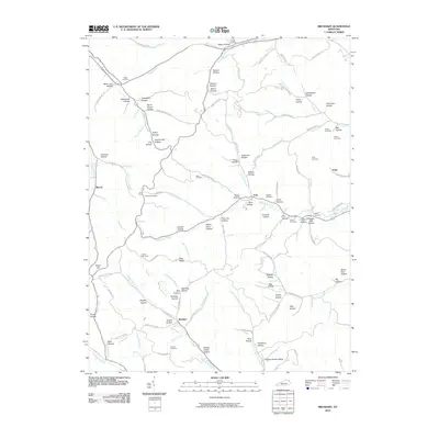
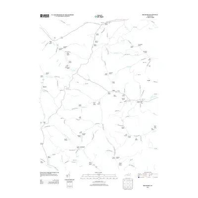
1949 Brushart
Greenup County, KY
1950 Brushart
Greenup County, KY
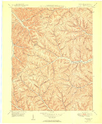
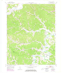
1953 Argillite
Greenup County, KY
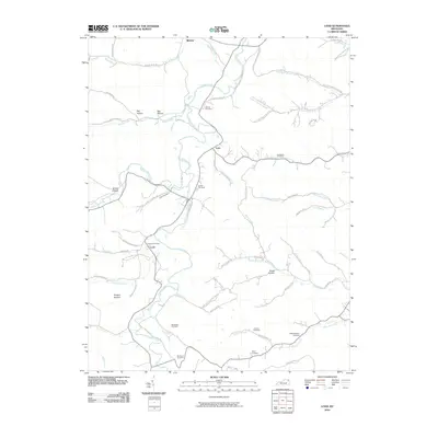
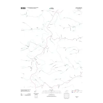
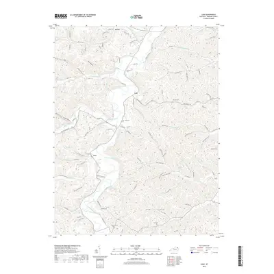
1953 Load
Greenup County, KY
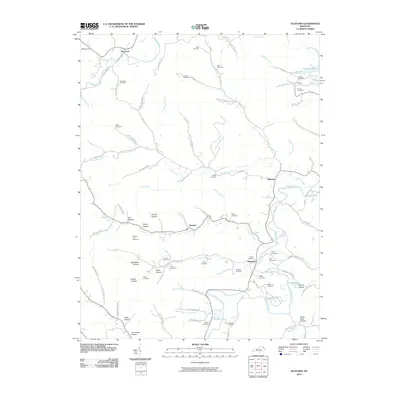
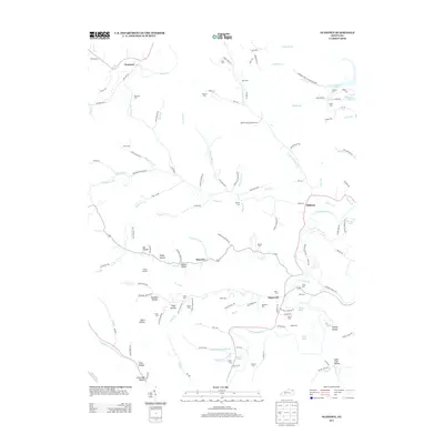
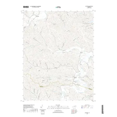
1953 Oldtown
Greenup County, KY
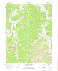
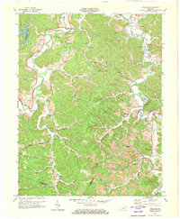
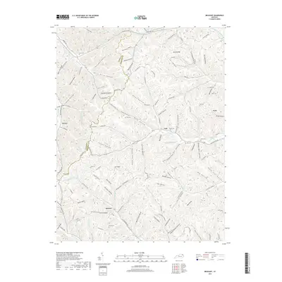
1972 Argillite
Greenup County, KY
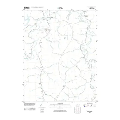
2010 Argillite
Greenup County, KY
2010 Brushart
Greenup County, KY
2010 Load
Greenup County, KY
2010 Oldtown
Greenup County, KY
2013 Argillite
Greenup County, KY
2013 Brushart
Greenup County, KY
2013 Load
Greenup County, KY
2013 Oldtown
Greenup County, KY
2016 Argillite
Greenup County, KY
2016 Brushart
Greenup County, KY
2016 Load
Greenup County, KY
2016 Oldtown
Greenup County, KY
2019 Argillite
Greenup County, KY
2019 Brushart
Greenup County, KY
2019 Load
Greenup County, KY
2019 Oldtown
Greenup County, KY
2022 Brushart
Greenup County, KY
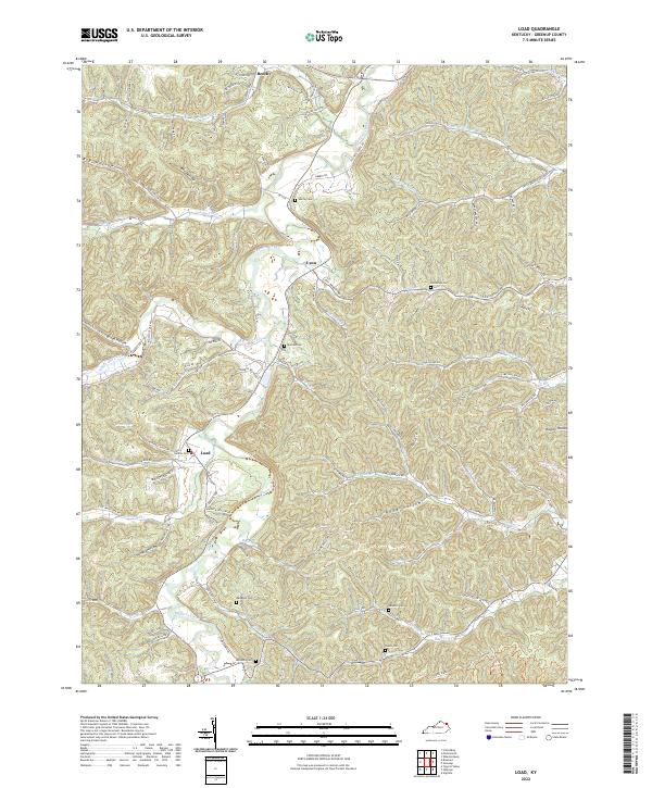
2022 Load
Greenup County, KY
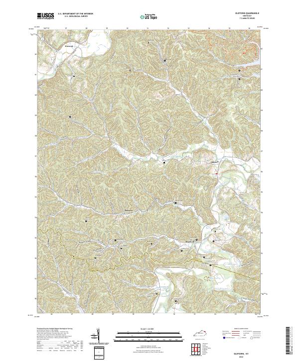
2022 Oldtown
Greenup County, KY
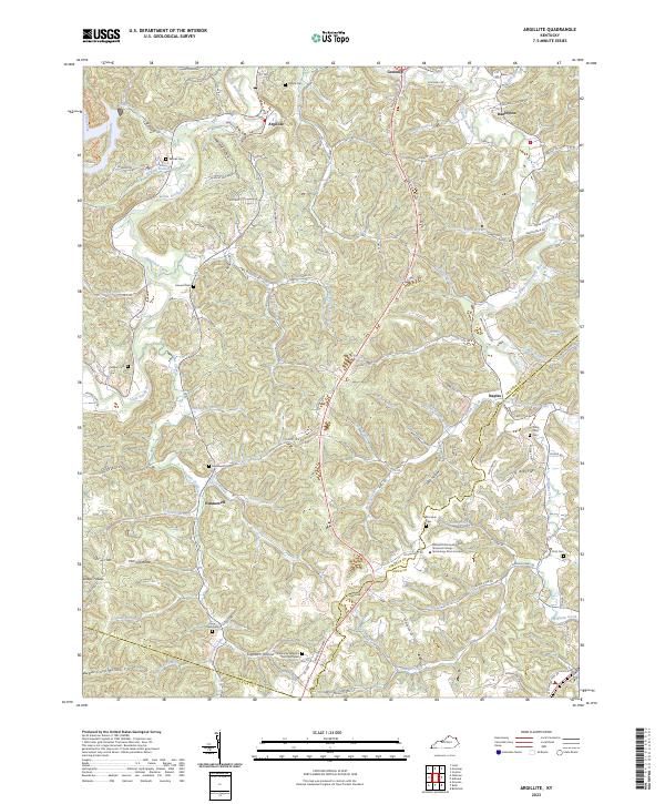
2023 Argillite
Greenup County, KY