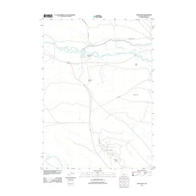
2012 Map of Argo Butte
USGS Topo · Published 2012About this map
The Wind River carves through this high-desert landscape in Fremont County, where water management and energy extraction define the local geography. Significant irrigation infrastructure is visible through the winding paths of the Winchester Ditch, Hurtado Ditch, and Deshaw Ditch, which support the surrounding terrain. To the south, the Winkleman Dome Oil Field sits near the geologic rise of Winkleman Dome, illustrating the region's industrial footprint. The terrain is marked by distinctive formations such as Argo Butte and Winchester Butte, overlooking the broad expanse of Bighorn Flat. Riparian features like Martin Ponds and the seasonal flows of Dry Cr and Sage Cr contrast with the arid draws, providing a detailed view of the interaction between the river system and the plateau.
Find a feature on this map
18 named features on this map. Tap any name to fly to it.
Don’t see what you’re looking for? This feature index may not catch every label — zoom into the map to look around manually.
Map Details
Editions of this 2012 Argo Butte Map
This is the sole edition of this map. No revisions or reprints were ever made.
Other maps of this area

1951 · Lookout Butte SW
USGS Topo · 1:24,000

1951 · Morton
USGS Topo · 1:24,000

1951 · Fort Washakie
USGS Topo · 1:24,000

1951 · Bull Lake East
USGS Topo · 1:24,000

1951 · Lookout Butte
USGS Topo · 1:24,000

1951 · Argo Butte
USGS Topo · 1:24,000

1951 · Ethete
USGS Topo · 1:24,000

1952 · Wise Flat
USGS Topo · 1:24,000

1952 · Crowheart Butte
USGS Topo · 1:24,000

1955 · Thermopolis
USGS Topo · 1:250,000