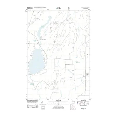
2011 Map of Argonne
USGS Topo · Published 2011About this map
The Wolf River begins its journey south of Hiles, flowing from the Headwaters of Wolf River Point of Interest through a landscape defined by significant water management and early industry. The timber history of the region is anchored by the Forster Muller- Lumber Company 1891C238 Dam near Hiles Mill Pond 17, reflecting the infrastructure required for the Northwoods' historic logging operations. Further east, the settlement of Argonne sits near the crossing of several tributaries, including the West Branch Peshtigo River and the Middle Branch Peshtigo River. This 2011 survey documents a mix of conservation and community life, from the Coyote Creek Impoundment and Pine Lake Campground to local burial grounds like Saint Marys Cemetery and the Hiles Cemetery. Notable landmarks such as the Hiles Lookout Tower provide a glimpse into the forest management practices of Forest County.
Find a feature on this map
49 named features on this map. Tap any name to fly to it.
Don’t see what you’re looking for? This feature index may not catch every label — zoom into the map to look around manually.
Map Details
Editions of this 2011 Argonne Map
This is the sole edition of this map. No revisions or reprints were ever made.
Other maps of this area

1928 · Three Lakes
USGS Topo · 1:48,000

1938 · Alvin
USGS Topo · 1:48,000

1938 · Three Lakes
USGS Topo · 1:48,000

1939 · Crandon
USGS Topo · 1:48,000

1940 · Monico
USGS Topo · 1:48,000

1941 · Crandon
USGS Topo · 1:48,000

1945 · Three Lakes
USGS Topo · 1:48,000

1946 · Alvin
USGS Topo · 1:48,000

1947 · Crandon
USGS Topo · 1:48,000

1950 · Monico
USGS Topo · 1:48,000