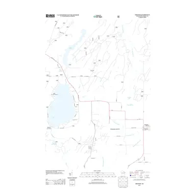
2013 Map of Argonne
USGS Topo · Published 2013About this map
Hiles and Argonne anchor this landscape of the Nicolet National Forest, defined by a complex network of waterways and timber-access routes. The area is dominated by large hydrographic features, notably the Hiles Millpond and Pine Lake, which historically served as hubs for local industry and recreation. At Wisconsin Junction, the convergence of roads like Co Hwy S and Wi-32 suggests a long-standing logistical node in the region's transport network.
Find a feature on this map
51 named features on this map. Tap any name to fly to it.
Don’t see what you’re looking for? This feature index may not catch every label — zoom into the map to look around manually.
Map Details
Editions of this 2013 Argonne Map
This is the sole edition of this map. No revisions or reprints were ever made.
Other maps of this area

1928 · Three Lakes
USGS Topo · 1:48,000

1938 · Alvin
USGS Topo · 1:48,000

1938 · Three Lakes
USGS Topo · 1:48,000

1939 · Crandon
USGS Topo · 1:48,000

1940 · Monico
USGS Topo · 1:48,000

1941 · Crandon
USGS Topo · 1:48,000

1945 · Three Lakes
USGS Topo · 1:48,000

1946 · Alvin
USGS Topo · 1:48,000

1947 · Crandon
USGS Topo · 1:48,000

1950 · Monico
USGS Topo · 1:48,000