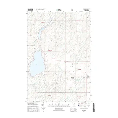
2015 Map of Argonne
USGS Topo · Published 2015About this map
Nicolet National Forest encompasses the majority of this landscape, where the headwaters of the Wolf River and multiple branches of the Peshtigo River intersect. The settlement of Hiles is situated at the southern end of the Hiles Millpond, while to the southeast, the community of Argonne serves as a local hub near Wisconsin Junction. The map details a sophisticated network of forest roads and rural lanes, such as Fire Tower Rd and Experimental Rd, which facilitate access through the timberlands and wetlands.
Find a feature on this map
53 named features on this map. Tap any name to fly to it.
Don’t see what you’re looking for? This feature index may not catch every label — zoom into the map to look around manually.
Map Details
Editions of this 2015 Argonne Map
This is the sole edition of this map. No revisions or reprints were ever made.
Other maps of this area

1928 · Three Lakes
USGS Topo · 1:48,000

1938 · Alvin
USGS Topo · 1:48,000

1938 · Three Lakes
USGS Topo · 1:48,000

1939 · Crandon
USGS Topo · 1:48,000

1940 · Monico
USGS Topo · 1:48,000

1941 · Crandon
USGS Topo · 1:48,000

1945 · Three Lakes
USGS Topo · 1:48,000

1946 · Alvin
USGS Topo · 1:48,000

1947 · Crandon
USGS Topo · 1:48,000

1950 · Monico
USGS Topo · 1:48,000