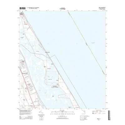
2015 Map of Ariel
USGS Topo · Published 2015About this map
The Canaveral National Seashore protects a complex barrier island system along the Volusia County coastline, where the Atlantic Ocean meets the tidal marshes of the Indian River Lagoon. This 2015 survey details the delicate geography of the Mosquito Lagoon area, featuring notable cultural landmarks like the prehistoric Turtle Mound shell midden and the historic settlement site at Eldora.
Find a feature on this map
87 named features on this map. Tap any name to fly to it.
Don’t see what you’re looking for? This feature index may not catch every label — zoom into the map to look around manually.
Map Details
Editions of this 2015 Ariel Map
This is the sole edition of this map. No revisions or reprints were ever made.
Other maps of this area
1937 · Port Orange
USGS Topo · 1:48,000
1943 · Port Orange
USGS Topo · 1:62,500
1944 · Port Orange
USGS Topo · 1:62,500
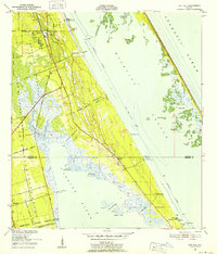
1949 · Oak Hill
USGS Topo · 1:24,000
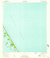
1949 · Pardon Island
USGS Topo · 1:24,000
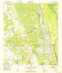
1950 · Maytown
USGS Topo · 1:24,000
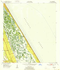
1950 · Ariel
USGS Topo · 1:24,000
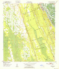
1950 · Edgewater
USGS Topo · 1:24,000
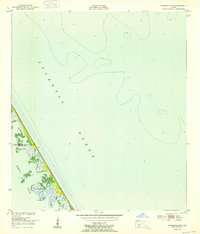
1952 · Pardon Island
USGS Topo · 1:24,000
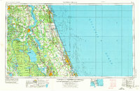
1954 · Daytona Beach
USGS Topo · 1:250,000