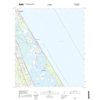
2021 Map of Ariel
USGS Topo · Published 2021About this map
Canaveral National Seashore dominates the coastal barrier landscape of this eastern Volusia County survey, anchored by the ancient Turtle Mound shell midden. The geography is defined by a dense network of saltwater lagoons and marsh islands, including Shipyard Island, Cedar Island, and Gaines Island, separated from the mainland by the Intracoastal Waterway and Indian River North. The map documents the residential patterns from the southern edges of New Smyrna Beach and Edgewater down to the historic settlement of Eldora and the community of Oak Hill. This area is a hub for recreational and environmental transit, featuring the Florida Circumnavigational Paddling Trl and the Worlds Most Famous Beach Trl, alongside aviation facilities like the Tully RV Airpark.
Find a feature on this map
93 named features on this map. Tap any name to fly to it.
Don’t see what you’re looking for? This feature index may not catch every label — zoom into the map to look around manually.
Map Details
Editions of this 2021 Ariel Map
This is the sole edition of this map. No revisions or reprints were ever made.
Other maps of this area

1937 · Port Orange
USGS Topo · 1:48,000

1943 · Port Orange
USGS Topo · 1:62,500

1944 · Port Orange
USGS Topo · 1:62,500

1949 · Oak Hill
USGS Topo · 1:24,000

1949 · Pardon Island
USGS Topo · 1:24,000

1950 · Maytown
USGS Topo · 1:24,000

1950 · Ariel
USGS Topo · 1:24,000

1950 · Edgewater
USGS Topo · 1:24,000
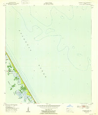
1952 · Pardon Island
USGS Topo · 1:24,000

1954 · Daytona Beach
USGS Topo · 1:250,000