
1932 Map of Ariel
USGS Topo · Published 1932About this map
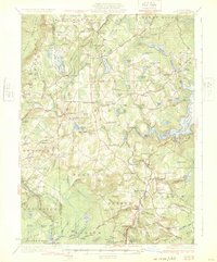
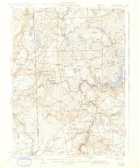
Lake Ariel sits at the heart of this Wayne County landscape, surrounded by a dense network of early 20th-century rural schools and settlements. The map illustrates a transitional period for the region, where the industrial legacy of Wallenpaupack Mills and Haags Mill meets the expanding recreational footprint along the western reaches of Lake Wallenpaupack. The terrain is defined by the Moosic Mountains to the west and a complex hydrology of glacial ponds and swamps like Silkmans Swamp and Tisdale Swamp.
Find a feature on this map
126 named features on this map. Tap any name to fly to it.
Don’t see what you’re looking for? This feature index may not catch every label — zoom into the map to look around manually.
Map Details
Editions of this 1932 Ariel Map
3 editions found
Other maps of this area
1889 · Scranton
USGS Topo · 1:62,500
1891 · Scranton
USGS Topo · 1:62,500

1892 · Honesdale
USGS Topo · 1:62,500
1892 · Dundaff
USGS Topo · 1:62,500
1893 · Scranton
USGS Topo · 1:62,500

1919 · Pocono
USGS Topo · 1:62,500

1920 · Damascus
USGS Topo · 1:62,500

1921 · Pocono
USGS Topo · 1:62,500

1922 · Stoddartsville
USGS Topo · 1:62,500
1923 · Damascus
USGS Topo · 1:62,500
Featured Places
- Cherry Ridge Township, PA
- South Canaan Township, PA
- Sterling Township, PA
- Clifton Township, PA
- Lake Township, PA