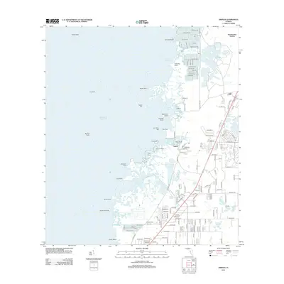
2012 Map of Aripeka
USGS Topo · Published 2012About this map
Aripeka sits at the heart of this coastal survey, where the intricate transition from the Gulf of Mexico to the Florida mainland is defined by a maze of islands, points, and bayous. The settlement of Hernando Beach to the north showcases a developed residential canal system with streets named for flora and marine life, such as Gardenia Dr and Amberjack Dr. This contrast between the engineered waterways of the north and the natural, winding passages around Fillman Bayou and The Cutoff illustrates the evolving mid-century and modern land-use patterns along the Gulf Coast.
Find a feature on this map
149 named features on this map. Tap any name to fly to it.
Don’t see what you’re looking for? This feature index may not catch every label — zoom into the map to look around manually.
Map Details
Editions of this 2012 Aripeka Map
This is the sole edition of this map. No revisions or reprints were ever made.
Other maps of this area

1954 · Port Richey
USGS Topo · 1:24,000

1954 · Fivay
USGS Topo · 1:24,000

1954 · Aripeka
USGS Topo · 1:24,000

1954 · Bayport
USGS Topo · 1:24,000

1954 · Weekiwachee Springs
USGS Topo · 1:24,000

1954 · Port Richey NE
USGS Topo · 1:24,000

1955 · Plant City
USGS Topo · 1:250,000

1958 · Plant City
USGS Topo · 1:250,000

1959 · Plant City
USGS Topo · 1:250,000

1964 · Plant City
USGS Topo · 1:250,000