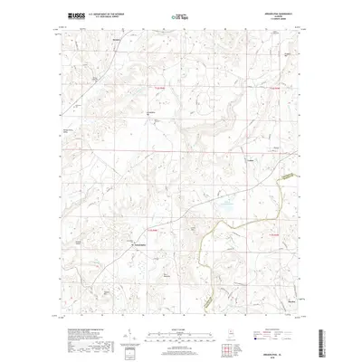
2018 Map of Arkadelphia
USGS Topo · Published 2018About this map
Mulberry Fork carves through the undulating landscape along the border of Cullman and Blount Counties, anchoring a region defined by its high ridges and deep drainages. In the southern half of the quadrangle, the community of Arkadelphia sits near the banks of James Creek, while to the east, the settlement of Colony is positioned near the winding Rice Creek. The terrain is characterized by prominent peaks such as Burt Reid Mountain and Cannon Mountain, separated by steep valleys like Wildcat Hollow.
Find a feature on this map
75 named features on this map. Tap any name to fly to it.
Don’t see what you’re looking for? This feature index may not catch every label — zoom into the map to look around manually.
Map Details
Editions of this 2018 Arkadelphia Map
This is the sole edition of this map. No revisions or reprints were ever made.
Other maps of this area

1888 · Cullman
USGS Topo · 1:125,000

1889 · Birmingham
USGS Topo · 1:125,000

1892 · Cullman
USGS Topo · 1:125,000

1892 · Birmingham
USGS Topo · 1:125,000

1893 · Jasper
USGS Topo · 1:125,000

1895 · Birmingham
USGS Topo · 1:125,000

1907 · Birmingham
USGS Topo · 1:125,000

1949 · Sipsey
USGS Topo · 1:24,000

1949 · Cold Springs
USGS Topo · 1:24,000

1951 · Cold Springs
USGS Topo · 1:24,000