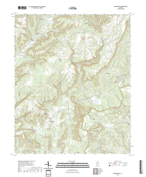
2024 Map of Arkadelphia
USGS Topo · Published 2024About this map
Arkadelphia and The Colony anchor this rural landscape along the winding course of the Mulberry Fork. The terrain is defined by a series of prominent elevations, including Arkadelphia Mtn, Prospect Mtn, and Burt Reid Mtn, which overlook the complex drainage systems of Sullivan Creek and Dollar Creek. The settlement pattern here is deeply rooted in local lineage, evidenced by a high density of family and community cemeteries such as Rutherford Family Cem, Sandlin Cem, and the Colony Community - Pleasant Grove Church Cem.
Find a feature on this map
83 named features on this map. Tap any name to fly to it.
Don’t see what you’re looking for? This feature index may not catch every label — zoom into the map to look around manually.
Map Details
Editions of this 2024 Arkadelphia Map
This is the sole edition of this map. No revisions or reprints were ever made.
Other maps of this area

1888 · Cullman
USGS Topo · 1:125,000

1889 · Birmingham
USGS Topo · 1:125,000

1892 · Cullman
USGS Topo · 1:125,000

1892 · Birmingham
USGS Topo · 1:125,000

1893 · Jasper
USGS Topo · 1:125,000

1895 · Birmingham
USGS Topo · 1:125,000

1907 · Birmingham
USGS Topo · 1:125,000

1949 · Sipsey
USGS Topo · 1:24,000

1949 · Cold Springs
USGS Topo · 1:24,000

1951 · Cold Springs
USGS Topo · 1:24,000