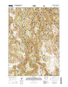
2014 Map of Arkansas Flat
USGS Topo · Published 2014About this map
Fremont National Forest defines this high-elevation landscape in Lake County, where water management and timberland geography dominate the terrain. Significant hydrological features like the Big Swamp Reservoir and Arkansas Reservoir are strategically positioned to capture runoff from the surrounding peaks, including Fishhole Mtn and Juniper Mtn. The map reveals a complex network of forest development routes, such as Natl Forest Develop Road 3715, which provided access to remote areas like Secret Valley and Hoyts Hole. Numerous natural springs, including Arkansas Spring and Lookout Spring, are scattered throughout the quadrangle, underscoring the importance of reliable water sources in this often arid region. Distinctive topographical landmarks like Barnes Rim and Arkansas Flat provide a clear view of the natural benches and ridges that characterize this portion of southern Oregon's interior.
Find a feature on this map
60 named features on this map. Tap any name to fly to it.
Don’t see what you’re looking for? This feature index may not catch every label — zoom into the map to look around manually.
Map Details
Editions of this 2014 Arkansas Flat Map
This is the sole edition of this map. No revisions or reprints were ever made.
Other maps of this area

1955 · Klamath Falls
USGS Topo · 1:250,000

1958 · Klamath Falls
USGS Topo · 1:250,000

1960 · Strawberry Butte
USGS Topo · 1:62,500

1960 · Fishhole Mtn
USGS Topo · 1:62,500

1964 · Drews Reservoir
USGS Topo · 1:24,000
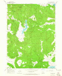
1964 · Dog Lake
USGS Topo · 1:24,000

1964 · Cougar Peak
USGS Topo · 1:24,000

1975 · Lakeview
USGS Topo · 1:100,000
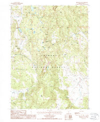
1988 · Arkansas Flat
USGS Topo · 1:24,000
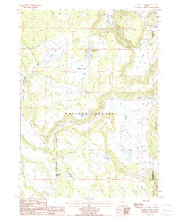
1988 · Barnes Valley
USGS Topo · 1:24,000