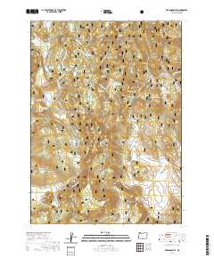
2020 Map of Arkansas Flat
USGS Topo · Published 2020About this map
Fremont National Forest encompasses this high-elevation landscape in Lake County, where seasonal hydrology and forest management define the terrain. The area is marked by numerous water sources and small basins, including Arkansas Flat and the depressions of Lofton Big Swamp and Long Prairie. Man-made water management is evident at Lapham Reservoir and Arkansas Reservoir, likely supporting the local cattle ranching and timber interests that have historically shaped this region.
Find a feature on this map
61 named features on this map. Tap any name to fly to it.
Don’t see what you’re looking for? This feature index may not catch every label — zoom into the map to look around manually.
Map Details
Editions of this 2020 Arkansas Flat Map
This is the sole edition of this map. No revisions or reprints were ever made.
Other maps of this area

1955 · Klamath Falls
USGS Topo · 1:250,000

1958 · Klamath Falls
USGS Topo · 1:250,000

1960 · Strawberry Butte
USGS Topo · 1:62,500

1960 · Fishhole Mtn
USGS Topo · 1:62,500

1964 · Drews Reservoir
USGS Topo · 1:24,000
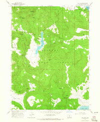
1964 · Dog Lake
USGS Topo · 1:24,000

1964 · Cougar Peak
USGS Topo · 1:24,000

1975 · Lakeview
USGS Topo · 1:100,000
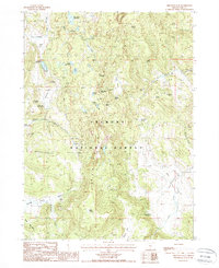
1988 · Arkansas Flat
USGS Topo · 1:24,000
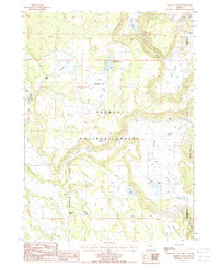
1988 · Barnes Valley
USGS Topo · 1:24,000