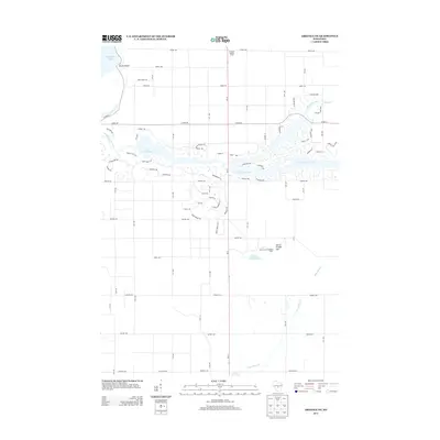
2013 Map of Arkdale NE
USGS Topo · Published 2013About this map
Lake Arrowhead and the adjacent Altoona Lake 830 define this 2013 landscape, where the waters of Fourteenmile Creek are channeled through a series of residential developments and recreation areas. The mapping shows an intricate network of modern street names, including Sawgrass Dr and Pinehurst Dr, reflecting the growth of suburban-style subdivisions near the eastern shores of Petenwell Lake.
Find a feature on this map
59 named features on this map. Tap any name to fly to it.
Don’t see what you’re looking for? This feature index may not catch every label — zoom into the map to look around manually.
Map Details
Editions of this 2013 Arkdale NE Map
This is the sole edition of this map. No revisions or reprints were ever made.
Other maps of this area

1955 · Green Bay
USGS Topo · 1:250,000

1957 · Wisconsin Rapids
USGS Topo · 1:48,000

1957 · Whiting
USGS Topo · 1:48,000

1958 · Arkdale
USGS Topo · 1:48,000

1958 · Coloma
USGS Topo · 1:48,000

1967 · Roche A Cri
USGS Topo · 1:24,000

1967 · Arkdale NE
USGS Topo · 1:24,000

1967 · Wisconsin Rapids
USGS Topo · 1:62,500
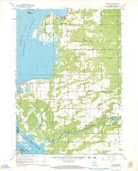
1967 · Arkdale
USGS Topo · 1:24,000

1968 · Coloma NW
USGS Topo · 1:24,000