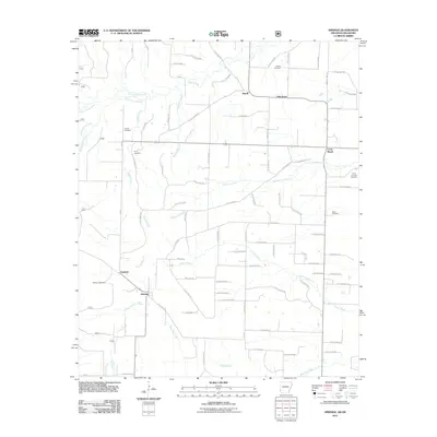
2011 Map of Arkinda
USGS Topo · Published 2011About this map
Arkinda and Eastport anchor the southwestern portion of this Little River County landscape, where the terrain is defined by a dense network of seasonal drainages and local access roads. The area shows a dispersed rural settlement pattern, with several established communities including Jewell, Oak Grove, and Cross Roads situated along the northern and eastern reaches. Numerous small family or community burial grounds, such as Strawn Cemetery, Cooper Cemetery, and the Camp Grounds Cemetery, are tucked into the woods and clearings, providing significant points of interest for genealogical research in this border region near Oklahoma.
Find a feature on this map
85 named features on this map. Tap any name to fly to it.
Don’t see what you’re looking for? This feature index may not catch every label — zoom into the map to look around manually.
Map Details
Editions of this 2011 Arkinda Map
This is the sole edition of this map. No revisions or reprints were ever made.
Other maps of this area

1950 · Tom
USGS Topo · 1:24,000

1950 · Winthrop
USGS Topo · 1:24,000

1950 · Goodwater
USGS Topo · 1:24,000

1950 · Bokhoma
USGS Topo · 1:24,000

1951 · Winthrop
USGS Topo · 1:24,000

1951 · Tom
USGS Topo · 1:24,000

1951 · Bokhoma
USGS Topo · 1:24,000

1951 · Goodwater
USGS Topo · 1:24,000

1951 · Arden
USGS Topo · 1:24,000

1951 · Arkinda
USGS Topo · 1:24,000