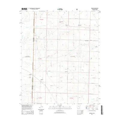
2014 Map of Arkinda
USGS Topo · Published 2014About this map
The Ouachita National Forest blankets the western edge of this landscape where the Arkansas and Oklahoma state lines meet. This border region is defined by a series of small, distributed settlements and rural crossroads that once served as vital community hubs for the surrounding timber and agricultural lands. Arkinda sits centrally at a junction of local routes, while to the north and east, places like Oak Grove, Jewell, and Cross Roads mark the rolling terrain.
Find a feature on this map
96 named features on this map. Tap any name to fly to it.
Don’t see what you’re looking for? This feature index may not catch every label — zoom into the map to look around manually.
Map Details
Editions of this 2014 Arkinda Map
This is the sole edition of this map. No revisions or reprints were ever made.
Other maps of this area

1950 · Tom
USGS Topo · 1:24,000

1950 · Winthrop
USGS Topo · 1:24,000

1950 · Goodwater
USGS Topo · 1:24,000

1950 · Bokhoma
USGS Topo · 1:24,000

1951 · Winthrop
USGS Topo · 1:24,000

1951 · Tom
USGS Topo · 1:24,000

1951 · Bokhoma
USGS Topo · 1:24,000

1951 · Goodwater
USGS Topo · 1:24,000

1951 · Arden
USGS Topo · 1:24,000

1951 · Arkinda
USGS Topo · 1:24,000