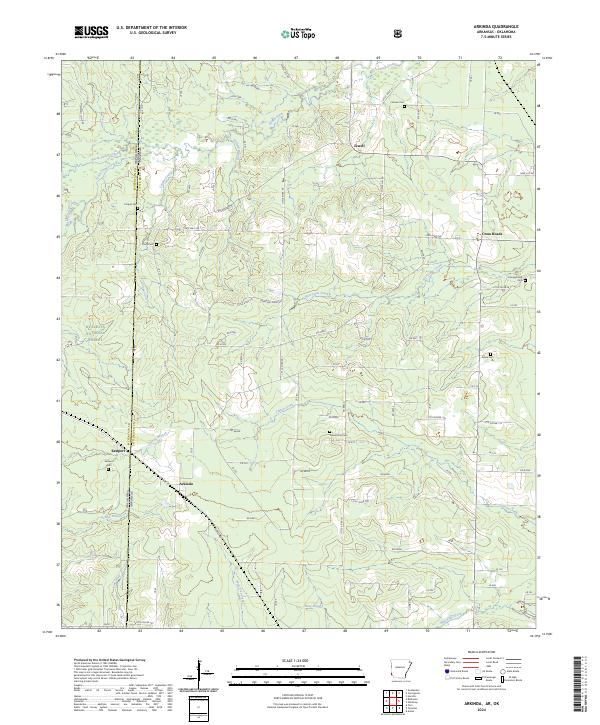
2024 Map of Arkinda
USGS Topo · Published 2024About this map
Arkinda and Eastport sit near the western edge of Little River County, marking the border between Arkansas and Oklahoma. The landscape is defined by the headwaters of numerous creeks, including Cooper Creek and Hurricane Creek, which weave through a mix of timberland and small farming communities. A significant portion of the western terrain is protected within the Ouachita National Forest, creating a distinct boundary between managed forest and the rural settlements to the east.
Find a feature on this map
104 named features on this map. Tap any name to fly to it.
Don’t see what you’re looking for? This feature index may not catch every label — zoom into the map to look around manually.
Map Details
Editions of this 2024 Arkinda Map
This is the sole edition of this map. No revisions or reprints were ever made.
Other maps of this area

1950 · Tom
USGS Topo · 1:24,000

1950 · Winthrop
USGS Topo · 1:24,000

1950 · Goodwater
USGS Topo · 1:24,000

1950 · Bokhoma
USGS Topo · 1:24,000

1951 · Winthrop
USGS Topo · 1:24,000

1951 · Tom
USGS Topo · 1:24,000

1951 · Bokhoma
USGS Topo · 1:24,000

1951 · Goodwater
USGS Topo · 1:24,000

1951 · Arden
USGS Topo · 1:24,000

1951 · Arkinda
USGS Topo · 1:24,000