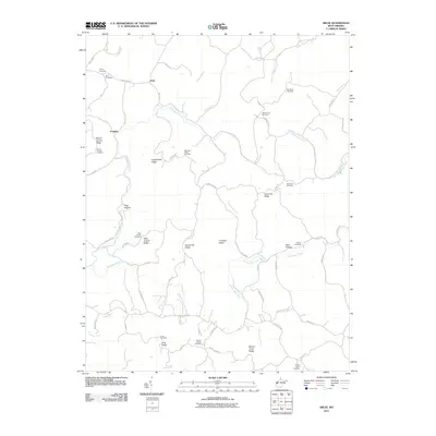
2011 Map of Arlee
USGS Topo · Published 2011About this map
Arlee and Pondlick sit within a landscape of deeply carved ridges and narrow creek bottoms in Mason County. The terrain is defined by a series of prominent landforms including Mount Carmel Ridge, Loggerhead Ridge, and Sevenmile Ridge, which dictate the winding paths of the local road network. Rural life in this corner of West Virginia is anchored by small community landmarks such as Potts Chapel and Barton Chapel.
Find a feature on this map
64 named features on this map. Tap any name to fly to it.
Don’t see what you’re looking for? This feature index may not catch every label — zoom into the map to look around manually.
Map Details
Editions of this 2011 Arlee Map
This is the sole edition of this map. No revisions or reprints were ever made.
Other maps of this area

1906 · Glenwood
USGS Topo · 1:62,500

1906 · Winfield
USGS Topo · 1:62,500

1908 · Glenwood
USGS Topo · 1:62,500

1908 · Winfield
USGS Topo · 1:62,500

1908 · Ravenswood
USGS Topo · 1:62,500

1908 · Point Pleasant
USGS Topo · 1:62,500

1926 · Ravenswood
USGS Topo · 1:62,500

1926 · Point Pleasant
USGS Topo · 1:62,500

1928 · Ravenswood
USGS Topo · 1:62,500

1929 · Point Pleasant
USGS Topo · 1:62,500