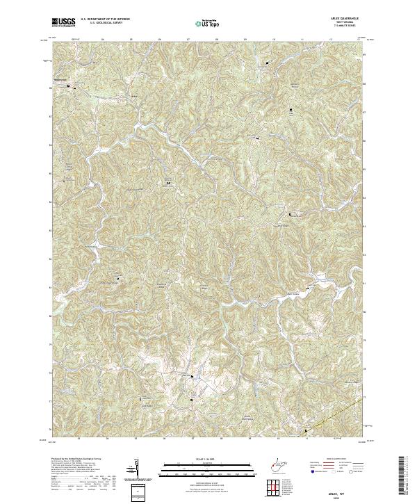
2023 Map of Arlee
USGS Topo · Published 2023About this map
Arlee and Mohrtown anchor this corner of West Virginia, where the deeply incised landscape is defined by long, narrow ridges and narrow creek bottoms. The geography of the region is mapped through its numerous family and community burial grounds, such as Barton Chapel Cem and Mountain Valley Cem, which serve as vital landmarks for local history and genealogy. The terrain is a complex network of branching waterways like Sixteenmile Creek and Crab Creek, separated by high ground including Loggerhead Ridge and Sevenmile Ridge. Movement through these hills follows old road corridors like Arlee-Couch and Five Mile Rd, tracing the natural contours of the land. This survey captures the rural settlement pattern where homes and small farms are scattered along the ridgelines and valley floors, highlighting the persistent relationship between the local population and the dissected topography of the Ohio River hinterlands.
Find a feature on this map
103 named features on this map. Tap any name to fly to it.
Don’t see what you’re looking for? This feature index may not catch every label — zoom into the map to look around manually.
Map Details
Editions of this 2023 Arlee Map
This is the sole edition of this map. No revisions or reprints were ever made.
Other maps of this area

1906 · Glenwood
USGS Topo · 1:62,500

1906 · Winfield
USGS Topo · 1:62,500

1908 · Glenwood
USGS Topo · 1:62,500

1908 · Winfield
USGS Topo · 1:62,500

1908 · Ravenswood
USGS Topo · 1:62,500

1908 · Point Pleasant
USGS Topo · 1:62,500

1926 · Ravenswood
USGS Topo · 1:62,500

1926 · Point Pleasant
USGS Topo · 1:62,500

1928 · Ravenswood
USGS Topo · 1:62,500

1929 · Point Pleasant
USGS Topo · 1:62,500