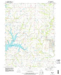
1990 Map of Arley
USGS Topo · Published 1995About this map
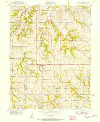
The sprawling waters of the Smithville Reservoir dominate the landscape of Clay and Clinton counties on this 1990 survey. The reservoir's eastern arms stretch deep into the countryside, reaching toward the small settlement of Arley, while its northern reaches are defined by Camp Branch and the protected lands of Camp Branch County Park. To the north, the community of Lilly sits atop the higher ground between drainage systems. Genealogists and local historians will find a high density of family and community burial grounds across this rural Missouri terrain, including Cook Cem, Fairview Cem, Eberts Cem, and Mt Zion Cem. The map provides a detailed view of the regional hydrology prior to the mid-90s, tracing watercourses like Holtzclaw Creek and Clear Creek as they feed the larger basin.
Find a feature on this map
19 named features on this map. Tap any name to fly to it.
Don’t see what you’re looking for? This feature index may not catch every label — zoom into the map to look around manually.
Map Details
Editions of this 1990 Arley Map
This is the sole edition of this map. No revisions or reprints were ever made.
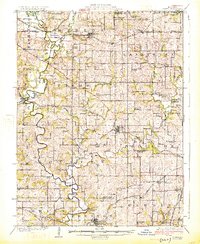
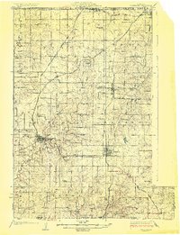
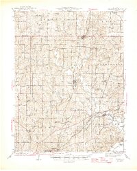
Other maps of this area

1890 · Kansas City
USGS Topo · 1:125,000

1894 · Kansas City
USGS Topo · 1:125,000

1894 · Independence
USGS Topo · 1:125,000

1914 · Smithville
USGS Topo · 1:62,500
1925 · Gower
USGS Topo · 1:62,500
1925 · Plattsburg
USGS Topo · 1:62,500

1936 · Kearney
USGS Topo · 1:48,000

1942 · Kearney
USGS Topo · 1:62,500
1945 · Kearney
USGS Topo · 1:62,500
1948 · Nashua
USGS Topo · 1:24,000