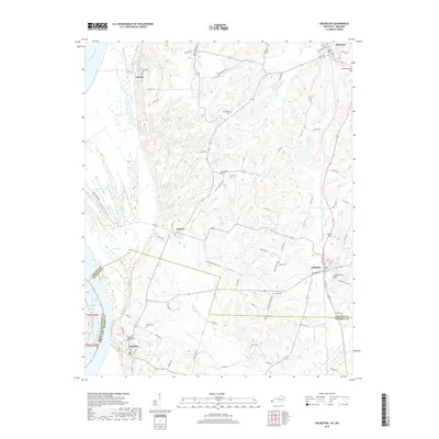
2019 Map of Arlington
USGS Topo · Published 2019About this map
The Mississippi River defines the western edge of this West Kentucky landscape, where the floodplain gives way to the dissected uplands of Carlisle and Hickman Counties. This area is home to several historic settlements including Arlington, Columbus, and Berkley, each serving as a hub for the surrounding agricultural community. The map reveals a high concentration of burial sites that are invaluable for genealogical research, ranging from the Columbus Confederate Cem in the southwest to Roselawn Cem near Bardwell in the north.
Find a feature on this map
80 named features on this map. Tap any name to fly to it.
Don’t see what you’re looking for? This feature index may not catch every label — zoom into the map to look around manually.
Map Details
Editions of this 2019 Arlington Map
This is the sole edition of this map. No revisions or reprints were ever made.
Other maps of this area

1939 · Wickliffe
USGS Topo · 1:62,500

1939 · Hickman
USGS Topo · 1:62,500

1951 · Blandville
USGS Topo · 1:24,000

1951 · Oakton
USGS Topo · 1:24,000

1951 · Wolf Island
USGS Topo · 1:24,000

1951 · Wickliffe SW
USGS Topo · 1:24,000

1951 · Arlington
USGS Topo · 1:24,000

1951 · Wickliffe
USGS Topo · 1:24,000

1951 · Milburn
USGS Topo · 1:24,000

1952 · Clinton
USGS Topo · 1:24,000