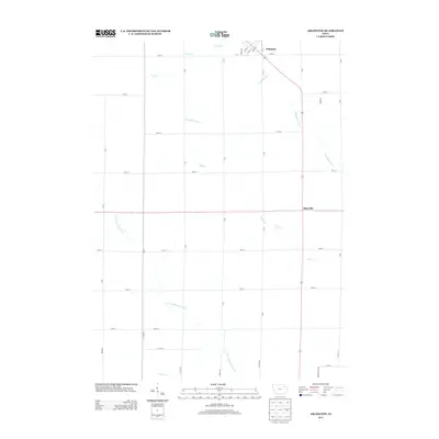
2013 Map of Arlington
USGS Topo · Published 2013About this map
Arlington sits at the northern edge of this Fayette County landscape, where the local street grid including Liberty St and High St meets the rural road network. The area is defined by a dense web of waterways that feed the larger regional drainage system, most notably the Maquoketa River and the S Fork Maquoketa River. These streams, along with Bruce Cr and Brush Cr, carve a meandering path through the agricultural sections south of town. The small settlement of Maryville appears further south along the main thoroughfare, serving as a secondary waypoint in a region primarily organized around section-line roads like 70th St and 50th St. This 2013 survey provides a clear view of the modern rural infrastructure and natural hydrology before any significant contemporary alterations.
Find a feature on this map
38 named features on this map. Tap any name to fly to it.
Don’t see what you’re looking for? This feature index may not catch every label — zoom into the map to look around manually.
Map Details
Editions of this 2013 Arlington Map
This is the sole edition of this map. No revisions or reprints were ever made.
Other maps of this area

1901 · Oelwein
USGS Topo · 1:125,000

1959 · Dubuque
USGS Topo · 1:250,000

1961 · Dubuque
USGS Topo · 1:250,000

1962 · Dubuque
USGS Topo · 1:250,000

1965 · Wadena
USGS Topo · 1:24,000

1965 · Strawberry Point
USGS Topo · 1:24,000

1965 · Arlington
USGS Topo · 1:24,000
1965 · Volga
USGS Topo · 1:24,000

1965 · Lamont
USGS Topo · 1:24,000

1965 · Dundee
USGS Topo · 1:24,000