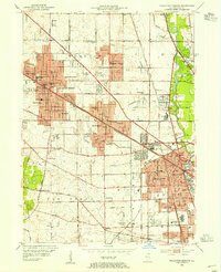
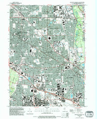
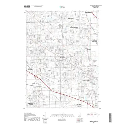
1953 Map of Arlington Heights
USGS Topo · Published 1955About this map
The Des Plaines River corridor and the Chicago and Northwestern rail lines define this landscape during a period of rapid suburban transition. This 1953 revision reveals the early footprint of modern transportation infrastructure, featuring Pal-Waukee Airport and Ravenswood Airport, alongside the burgeoning O'Hare Field at the southern edge. The residential expansion of Arlington Heights and Des Plaines is captured in detail, showing a dense network of local schools like Arlington Ridge Sch and Dryden Sch. Religious and social institutions such as the Diatonian Novitiate and St Patrick Academy stand alongside established landmarks like Magnus Farm, reflecting a shift from agricultural tracts to a cohesive suburban community. The inclusion of the Allison Woods BridLE Path and multiple country clubs indicates the development of the river's edge for public recreation.
Find a feature on this map
98 named features on this map. Tap any name to fly to it.
Don’t see what you’re looking for? This feature index may not catch every label — zoom into the map to look around manually.
Map Details
Editions of this 1953 Arlington Heights Map
This is the sole edition of this map. No revisions or reprints were ever made.
Historical Maps of Chicago Through Time
11 maps found
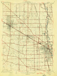
1927 Arlington Heights
Cook County, IL
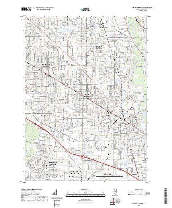
1953 Arlington Heights
Cook County, IL
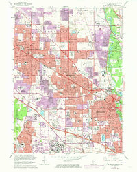
1962 Arlington Heights
Cook County, IL
1963 Arlington Heights
Cook County, IL
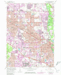
1993 Arlington Heights
Cook County, IL

1995 Arlington Heights
Cook County, IL
2012 Arlington Heights
Cook County, IL
2015 Arlington Heights
Cook County, IL
2018 Arlington Heights
Cook County, IL
2021 Arlington Heights
Cook County, IL
2024 Arlington Heights
Cook County, IL