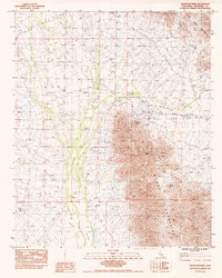
1983 Map of Arlington Mine
USGS Topo · Published 1983About this map
Mining operations dominate the arid interior of Riverside County, where the southern reaches of the Maria Mountains meet the eastern slopes of the McCoy Mountains. This desert landscape is defined by its extraction history, centered on the eponymous Arlington Mine and the nearby Black Jack Mine. These industrial sites are linked by a network of specialized routes, including the Arlington Mine Road and various Jeep Trails that navigate the alluvial fans and numerous Dry Washes draining the peaks.
Find a feature on this map
10 named features on this map. Tap any name to fly to it.
Don’t see what you’re looking for? This feature index may not catch every label — zoom into the map to look around manually.
Map Details
Editions of this 1983 Arlington Mine Map
This is the sole edition of this map. No revisions or reprints were ever made.
Other maps of this area

1942 · Blythe
USGS Topo · 1:250,000

1945 · Midland
USGS Topo · 1:62,500

1952 · Midland
USGS Topo · 1:62,500

1952 · Mc Coy Spring
USGS Topo · 1:62,500

1952 · Sidewinder Well
USGS Topo · 1:62,500

1952 · Palen Mountains
USGS Topo · 1:62,500

1954 · Salton Sea
USGS Topo · 1:250,000

1955 · Salton Sea
USGS Topo · 1:250,000

1959 · Salton Sea
USGS Topo · 1:250,000

1963 · Salton Sea
USGS Topo · 1:250,000