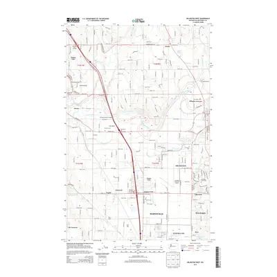
2014 Map of Arlington West
USGS Topo · Published 2014About this map
The Stillaguamish River snakes through the northern reach of this Snohomish County survey, defining a landscape shaped by agricultural enterprise and evolving transportation corridors. Large-scale dairy operations like Giles Dairy, Sather Dairy, and Van Slageren Dairy reflect the region's deep farming roots, while the presence of the Arlington Municipal Airport and the Gleneagle Golf Course indicates the transition toward more modern infrastructure and recreational land use.
Find a feature on this map
62 named features on this map. Tap any name to fly to it.
Don’t see what you’re looking for? This feature index may not catch every label — zoom into the map to look around manually.
Map Details
Editions of this 2014 Arlington West Map
This is the sole edition of this map. No revisions or reprints were ever made.
Other maps of this area

1911 · Mount Vernon
USGS Topo · 1:125,000

1940 · Mt Vernon
USGS Topo · 1:62,500

1941 · Marysville
USGS Topo · 1:62,500

1943 · Marysville
USGS Topo · 1:62,500

1943 · Mt Vernon
USGS Topo · 1:62,500

1943 · Stanwood
USGS Topo · 1:62,500

1944 · Clear Lake
USGS Topo · 1:62,500

1956 · Tulalip
USGS Topo · 1:24,000

1956 · Arlington West
USGS Topo · 1:24,000

1956 · Arlington East
USGS Topo · 1:24,000