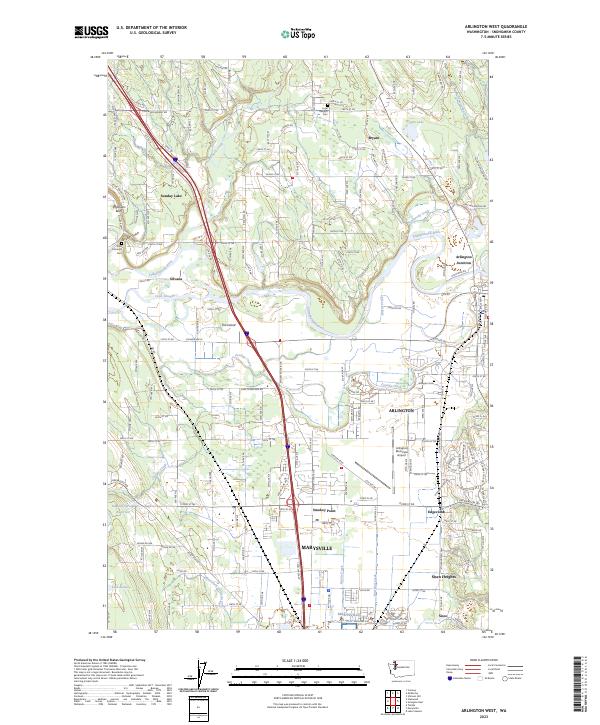
2023 Map of Arlington West
USGS Topo · Published 2023About this map
The Stillaguamish River snakes through this portion of Snohomish County, defining the agricultural and residential development around Silvana and Arlington. Modern infrastructure like the Arlington Municipal Airport and the commercial corridors of Smokey Point and Marysville contrast with established local landmarks. Traces of early regional history are visible in the placement of Zion Lutheran Cem near Jackson Gulch and the Loyal Heights Cem north of Bryant. This 2023 survey documents the ongoing transition of rural communities like Edgecomb and Sisco Heights as they integrate with the expanding suburban footprints of the Puget Sound region. Along the river, unique geographic features such as The Island and Cook Slough show the intricate hydrography that has influenced settlement patterns since the days of Old 99 N.
Find a feature on this map
48 named features on this map. Tap any name to fly to it.
Don’t see what you’re looking for? This feature index may not catch every label — zoom into the map to look around manually.
Map Details
Editions of this 2023 Arlington West Map
This is the sole edition of this map. No revisions or reprints were ever made.
Other maps of this area

1911 · Mount Vernon
USGS Topo · 1:125,000

1940 · Mt Vernon
USGS Topo · 1:62,500

1941 · Marysville
USGS Topo · 1:62,500

1943 · Marysville
USGS Topo · 1:62,500

1943 · Mt Vernon
USGS Topo · 1:62,500

1943 · Stanwood
USGS Topo · 1:62,500

1944 · Clear Lake
USGS Topo · 1:62,500

1956 · Tulalip
USGS Topo · 1:24,000

1956 · Arlington West
USGS Topo · 1:24,000

1956 · Arlington East
USGS Topo · 1:24,000