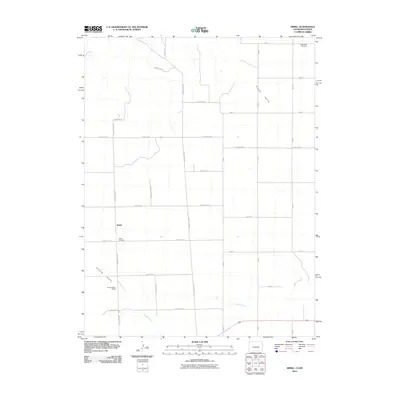
2010 Map of Armel
USGS Topo · Published 2010About this map
Armel serves as the primary focal point of this Eastern Colorado landscape, situated amidst a grid of agricultural and county roads. The terrain is defined by distinct drainages such as Clough Valley and Lansing Valley, which channel water toward Cherry Creek and Coupe Creek. For genealogists and local historians, the map documents significant community landmarks including the Armel Cemetery and the more northerly Hope Valley Cemetery, providing essential markers of the area's early settlement history. The presence of the Lansing Valley Ranch further illustrates the region's enduring ranching and farming economy. This survey captures the rural infrastructure of Yuma County, revealing the precise layout of a high plains agricultural district as it functioned in the early 21st century.
Find a feature on this map
29 named features on this map. Tap any name to fly to it.
Don’t see what you’re looking for? This feature index may not catch every label — zoom into the map to look around manually.
Map Details
Editions of this 2010 Armel Map
This is the sole edition of this map. No revisions or reprints were ever made.
Other maps of this area

1942 · St. Francis
USGS Topo · 1:62,500

1943 · St. Francis
USGS Topo · 1:62,500

1950 · Bonny Reservoir
USGS Topo · 1:62,500

1951 · St Francis
USGS Topo · 1:62,500

1952 · St Francis 3
USGS Topo · 1:62,500

1954 · Limon
USGS Topo · 1:250,000

1954 · Goodland
USGS Topo · 1:250,000

1956 · Goodland
USGS Topo · 1:250,000

1957 · Limon
USGS Topo · 1:250,000

1957 · Goodland
USGS Topo · 1:250,000