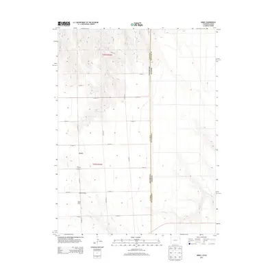
2013 Map of Armel
USGS Topo · Published 2013About this map
Armel sits at the heart of this high plains landscape on the eastern edge of Yuma County, just miles from the state line. This 2013 survey documents a remote section of the Colorado-Kansas border, where the terrain transitions from the open fields of the Republican River valley into the subtle drainage systems of Cherry Cr and Coupe Cr. The settlement pattern is defined by a strictly organized grid of county roads, including CO Road 15 and CO Road 14, which connect isolated homesteads and ranching operations. Significant local landmarks include the Armel Cem and the Lansing Valley Ranch, the latter situated within the distinct topography of Lansing Valley. The map clearly delineates the administrative boundary between Yuma and Cheyenne counties in Kansas, illustrating how these rural communities are geographically tied despite the state border.
Find a feature on this map
18 named features on this map. Tap any name to fly to it.
Don’t see what you’re looking for? This feature index may not catch every label — zoom into the map to look around manually.
Map Details
Editions of this 2013 Armel Map
This is the sole edition of this map. No revisions or reprints were ever made.
Other maps of this area

1942 · St. Francis
USGS Topo · 1:62,500

1943 · St. Francis
USGS Topo · 1:62,500

1950 · Bonny Reservoir
USGS Topo · 1:62,500

1951 · St Francis
USGS Topo · 1:62,500

1952 · St Francis 3
USGS Topo · 1:62,500

1954 · Limon
USGS Topo · 1:250,000

1954 · Goodland
USGS Topo · 1:250,000

1956 · Goodland
USGS Topo · 1:250,000

1957 · Limon
USGS Topo · 1:250,000

1957 · Goodland
USGS Topo · 1:250,000