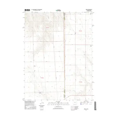
2016 Map of Armel
USGS Topo · Published 2016About this map
Armel serves as the primary community anchor in this high plains landscape at the state line between Colorado and Kansas. The terrain is characterized by broad valleys and subtle drainage systems, notably Lansing Valley in the southwest and Clough Valley in the east. These geographic features, along with intermittent waterways like Coupe Cr and Cherry Cr, have long defined the agricultural potential and settlement patterns of Yuma and Cheyenne counties.
Find a feature on this map
32 named features on this map. Tap any name to fly to it.
Don’t see what you’re looking for? This feature index may not catch every label — zoom into the map to look around manually.
Map Details
Editions of this 2016 Armel Map
This is the sole edition of this map. No revisions or reprints were ever made.
Other maps of this area

1942 · St. Francis
USGS Topo · 1:62,500

1943 · St. Francis
USGS Topo · 1:62,500

1950 · Bonny Reservoir
USGS Topo · 1:62,500

1951 · St Francis
USGS Topo · 1:62,500

1952 · St Francis 3
USGS Topo · 1:62,500

1954 · Limon
USGS Topo · 1:250,000

1954 · Goodland
USGS Topo · 1:250,000

1956 · Goodland
USGS Topo · 1:250,000

1957 · Limon
USGS Topo · 1:250,000

1957 · Goodland
USGS Topo · 1:250,000