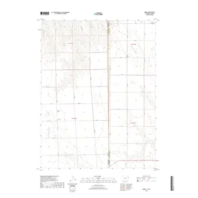
2019 Map of Armel
USGS Topo · Published 2019About this map
Armel serves as the focal point of this agricultural landscape along the Colorado and Kansas border, where the High Plains transition into a series of drainages and valleys. The settlement is anchored by the Armel Cem, while further east across the state line in Cheyenne County, the German Plains Cem and Clough Valley Cem mark early community centers in this rural expanse. The terrain is defined by distinct topographical depressions and watercourses, most notably the north-sloping Clough Valley and the southwesterly Lansing Valley. Seasonal hydrology is represented by Coon Cr and Cherry Cr, which cut through the surveyed sections of t2s r42w and t3s r42w. The rectilinear road network, including Co RD 17 and Co RD 1, reflects the enduring legacy of the Public Land Survey System in organizing this borderland territory.
Find a feature on this map
33 named features on this map. Tap any name to fly to it.
Don’t see what you’re looking for? This feature index may not catch every label — zoom into the map to look around manually.
Map Details
Editions of this 2019 Armel Map
This is the sole edition of this map. No revisions or reprints were ever made.
Other maps of this area

1942 · St. Francis
USGS Topo · 1:62,500

1943 · St. Francis
USGS Topo · 1:62,500

1950 · Bonny Reservoir
USGS Topo · 1:62,500

1951 · St Francis
USGS Topo · 1:62,500

1952 · St Francis 3
USGS Topo · 1:62,500

1954 · Limon
USGS Topo · 1:250,000

1954 · Goodland
USGS Topo · 1:250,000

1956 · Goodland
USGS Topo · 1:250,000

1957 · Limon
USGS Topo · 1:250,000

1957 · Goodland
USGS Topo · 1:250,000