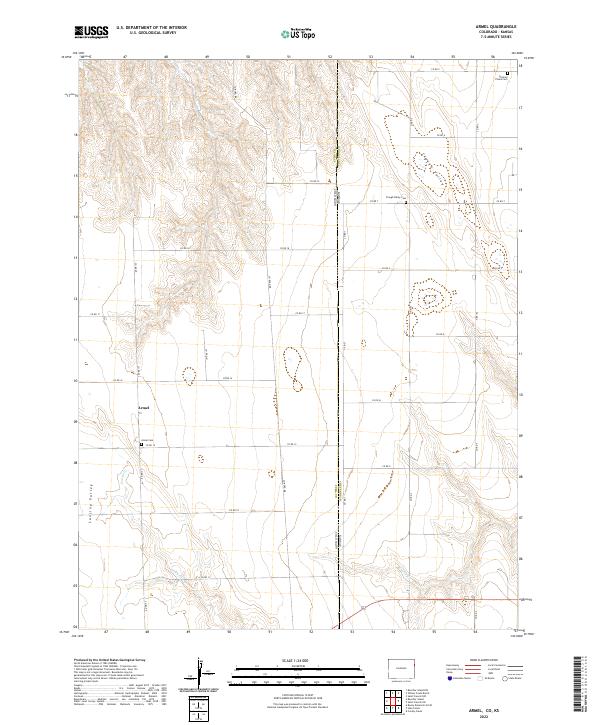
2022 Map of Armel
USGS Topo · Published 2022About this map
Armel serves as the central community of this prairie landscape, where the high plains of northeastern Colorado meet the Kansas border. This rural area is defined by the subtle drainage patterns of Lansing Valley to the west and Clough Valley to the east, which shape the agricultural grid. The map highlights the essential institutions of the early 20th-century frontier, specifically the community cemeteries like Armel Cem, Clough Valley Cem, and German Plains Cem located in the far northeastern corner. These sites, along with the intermittent courses of Cowpe Cr and Cherry Cr, provide key landmarks for genealogists and local historians tracking the settlement patterns of Yuma and Cheyenne counties during a more recent era of land use. The strictly organized road system, including Co RD 15 and Co RD 1, illustrates the enduring structure of the township-and-range surveying system.
Find a feature on this map
32 named features on this map. Tap any name to fly to it.
Don’t see what you’re looking for? This feature index may not catch every label — zoom into the map to look around manually.
Map Details
Editions of this 2022 Armel Map
This is the sole edition of this map. No revisions or reprints were ever made.
Other maps of this area

1942 · St. Francis
USGS Topo · 1:62,500

1943 · St. Francis
USGS Topo · 1:62,500

1950 · Bonny Reservoir
USGS Topo · 1:62,500

1951 · St Francis
USGS Topo · 1:62,500

1952 · St Francis 3
USGS Topo · 1:62,500

1954 · Limon
USGS Topo · 1:250,000

1954 · Goodland
USGS Topo · 1:250,000

1956 · Goodland
USGS Topo · 1:250,000

1957 · Limon
USGS Topo · 1:250,000

1957 · Goodland
USGS Topo · 1:250,000