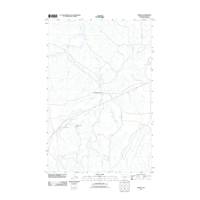
2011 Map of Armells
USGS Topo · Published 2011About this map
The Armells (historical) townsite sits at the heart of this Fergus County drainage, marking a point where early settlement once clustered near the confluence of Montana's central prairie waterways. The landscape is defined by the intricate branching of Armells Creek, including its Middle Fork and East Fork tributaries. These watercourses carved the local topography long before the construction of the Big John M Dam, which provides a rare point of modern water management in this agricultural corridor.
Find a feature on this map
15 named features on this map. Tap any name to fly to it.
Don’t see what you’re looking for? This feature index may not catch every label — zoom into the map to look around manually.
Map Details
Editions of this 2011 Armells Map
This is the sole edition of this map. No revisions or reprints were ever made.
Other maps of this area

1941 · Lewistown
USGS Topo · 1:62,500

1941 · Judith Peak
USGS Topo · 1:62,500

1944 · Lewistown
USGS Topo · 1:62,500

1944 · Judith Peak
USGS Topo · 1:62,500

1954 · Lewistown
USGS Topo · 1:250,000

1959 · Lewistown
USGS Topo · 1:250,000

1978 · Lewistown
USGS Topo · 1:100,000

1985 · The Horse Ranch
USGS Topo · 1:24,000

1985 · Fergus
USGS Topo · 1:24,000

1985 · Hilger
USGS Topo · 1:24,000