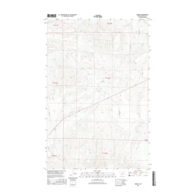
2017 Map of Armells
USGS Topo · Published 2017About this map
The tiny settlement of Armells serves as the focal point for thisFergus County landscape, situated where the E Fork Armells Cr meets the main branch of Armells Cr. The terrain is defined by a dense network of seasonal and perennial drainage systems, including Middle Fork Armells Cr, Dry Armells Cr, and the appropriately named Badland Cr to the east. Modern road networks like Romundstad Rd and Horse Ranch Rd trace the path of earlier rural routes through the coulees and benchlands. The southern edge of the map transitions into more dramatic relief near Mitchell Canyon. This 2017 survey illustrates the persistent ranching character of the region, where family names are etched into the geography via roads like Irish Rd and Gilpatrick Ln, reflecting a legacy of settlement in this remote portion of Central Montana.
Find a feature on this map
22 named features on this map. Tap any name to fly to it.
Don’t see what you’re looking for? This feature index may not catch every label — zoom into the map to look around manually.
Map Details
Editions of this 2017 Armells Map
This is the sole edition of this map. No revisions or reprints were ever made.
Other maps of this area

1941 · Lewistown
USGS Topo · 1:62,500

1941 · Judith Peak
USGS Topo · 1:62,500

1944 · Lewistown
USGS Topo · 1:62,500

1944 · Judith Peak
USGS Topo · 1:62,500

1954 · Lewistown
USGS Topo · 1:250,000

1959 · Lewistown
USGS Topo · 1:250,000

1978 · Lewistown
USGS Topo · 1:100,000

1985 · The Horse Ranch
USGS Topo · 1:24,000

1985 · Fergus
USGS Topo · 1:24,000

1985 · Hilger
USGS Topo · 1:24,000