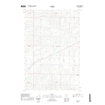
2020 Map of Armells
USGS Topo · Published 2020About this map
Armells Cr and its complex network of tributaries define this central Montana landscape within Fergus County. The drainage patterns of the Middle Fork Armells Cr, E Fork Armells Cr, and Dry Armells Cr illustrate the dendritic erosion of the region, where seasonal watercourses have carved out features like Mitchell Canyon and Deer Cr. The road network provides evidence of contemporary land use and ranching access, with routes such as Horse Ranch Rd, Armells Rd, and Romunstad Rd following the natural contours of the stream valleys. This 2020 survey documents the intersection of modern property lines with the historical Public Land Survey System, showing the townships from t19n r19e down to t17n r20e as they are managed in the twenty-first century.
Find a feature on this map
21 named features on this map. Tap any name to fly to it.
Don’t see what you’re looking for? This feature index may not catch every label — zoom into the map to look around manually.
Map Details
Editions of this 2020 Armells Map
This is the sole edition of this map. No revisions or reprints were ever made.
Other maps of this area

1941 · Lewistown
USGS Topo · 1:62,500

1941 · Judith Peak
USGS Topo · 1:62,500

1944 · Lewistown
USGS Topo · 1:62,500

1944 · Judith Peak
USGS Topo · 1:62,500

1954 · Lewistown
USGS Topo · 1:250,000

1959 · Lewistown
USGS Topo · 1:250,000

1978 · Lewistown
USGS Topo · 1:100,000

1985 · The Horse Ranch
USGS Topo · 1:24,000

1985 · Fergus
USGS Topo · 1:24,000

1985 · Hilger
USGS Topo · 1:24,000