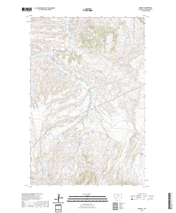
2024 Map of Armells
USGS Topo · Published 2024About this map
Armells Creek serves as the central drainage for this section of Fergus County, where a branching network of watercourses defines the breaks and drainages of the Montana landscape. The map details the convergence of the Middle Fork Armells Creek and East Fork Armells Creek, carving through the terrain alongside other seasonal flows like Badland Creek and Deer Creek. This area is characterized by its wide-reaching ranching infrastructure, connected by a network of rural routes named for local families and landmarks, such as Romundstad Rd and Horse Ranch Rd. Landowners and researchers can trace the topographical shifts near Mitchell Canyon or follow the path of Armell's Rd as it traverses the townships. The surveyor's grid highlights the organized division of this high-plains territory, showing how the land was partitioned into sections across the t18n r19e and t18n r20e townships.
Find a feature on this map
19 named features on this map. Tap any name to fly to it.
Don’t see what you’re looking for? This feature index may not catch every label — zoom into the map to look around manually.
Map Details
Editions of this 2024 Armells Map
This is the sole edition of this map. No revisions or reprints were ever made.
Other maps of this area

1941 · Lewistown
USGS Topo · 1:62,500

1941 · Judith Peak
USGS Topo · 1:62,500

1944 · Lewistown
USGS Topo · 1:62,500

1944 · Judith Peak
USGS Topo · 1:62,500

1954 · Lewistown
USGS Topo · 1:250,000

1959 · Lewistown
USGS Topo · 1:250,000

1978 · Lewistown
USGS Topo · 1:100,000

1985 · The Horse Ranch
USGS Topo · 1:24,000

1985 · Fergus
USGS Topo · 1:24,000

1985 · Hilger
USGS Topo · 1:24,000