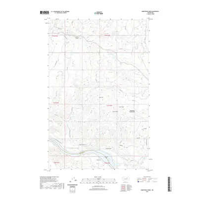
2020 Map of Armstrong Creek
USGS Topo · Published 2020About this map
Nespelem Community occupies a prominent position on this high-desert plateau overlooking the Columbia River corridor. The landscape is defined by its dramatic elevation changes, where high points like Mt Adams and Mineral Ridge look down upon the expansive Bissell Flat and the ancient river terrace of Nespelem Bar. This 2020 topographical survey documents the modern layout of the Colville Reservation, showing a network of Bureau of Indian Affairs routes such as Bia RD 1020 and Bia RD 110 that connect isolated water sources like Condon Spring and Omaha Lake.
Find a feature on this map
47 named features on this map. Tap any name to fly to it.
Don’t see what you’re looking for? This feature index may not catch every label — zoom into the map to look around manually.
Map Details
Editions of this 2020 Armstrong Creek Map
This is the sole edition of this map. No revisions or reprints were ever made.
Other maps of this area

1950 · Nespelem
USGS Topo · 1:62,500

1950 · Alameda Flat
USGS Topo · 1:62,500

1952 · Alameda Flat
USGS Topo · 1:62,500

1952 · Disautel
USGS Topo · 1:62,500

1953 · Bald Knob
USGS Topo · 1:62,500

1954 · Okanogan
USGS Topo · 1:250,000

1958 · Okanogan
USGS Topo · 1:250,000
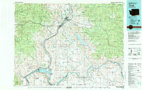
1983 · Omak
USGS Topo · 1:100,000

1984 · Nespelem
USGS Topo · 1:100,000
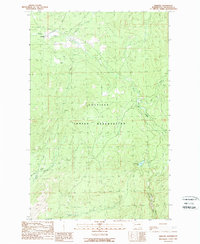
1989 · Disautel
USGS Topo · 1:24,000