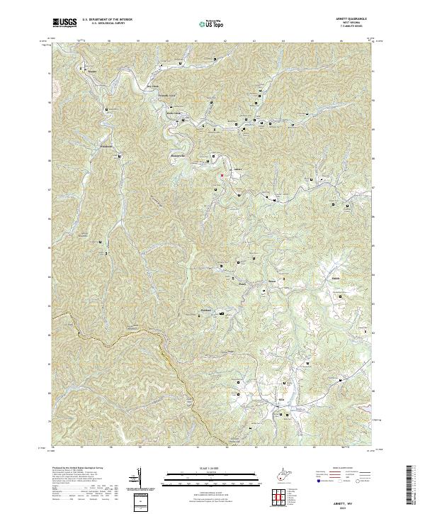
2023 Map of Arnett
USGS Topo · Published 2023About this map
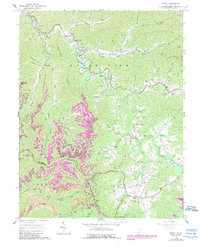
Guyandotte Mountain and the southern divide of Peachtree Ridge form the high-elevation backbone of this West Virginia landscape, where small communities follow the winding narrow valleys. Along the Marsh Fork and its numerous tributaries like Dry Creek and Rock Creek, the settlement pattern reflects a deeply rooted Appalachian lineage. Genealogists will find a high density of family-named burial grounds including Adkins Cem, Trump Cem, and the Sarrett - Lemon Cem tucked into the hollows. The presence of Breckenridge Church near the county line between Raleigh and Wyoming counties marks a local social hub in an otherwise decentralized network of hamlets. From Naoma in the north to Bolt in the south, the map details the intricate road system, such as Coal River Rd and Posey Saxon Rd, that connects these mountain gaps and ridges.
Find a feature on this map
106 named features on this map. Tap any name to fly to it.
Don’t see what you’re looking for? This feature index may not catch every label — zoom into the map to look around manually.
Map Details
Editions of this 2023 Arnett Map
This is the sole edition of this map. No revisions or reprints were ever made.
Historical Maps of Friendly View Through Time
12 maps found

1911 Flattop
Raleigh County, WV

1911 Marshes
Raleigh County, WV
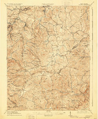
1914 Flattop
Raleigh County, WV
1929 Flattop
Raleigh County, WV
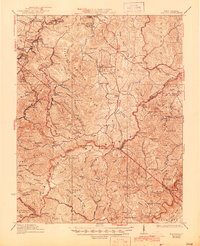
1932 Flattop
Raleigh County, WV
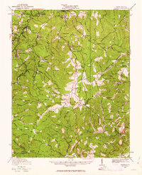
1964 Arnett
Raleigh County, WV
1968 Odd
Raleigh County, WV
1969 Meadow Creek
Raleigh County, WV
1996 Meadow Creek
Raleigh County, WV
2023 Arnett
Raleigh County, WV
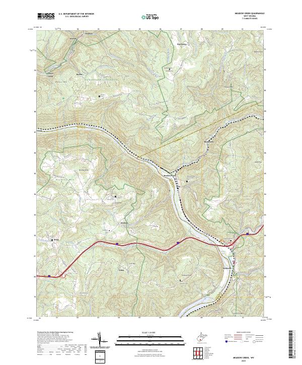
2023 Meadow Creek
Raleigh County, WV
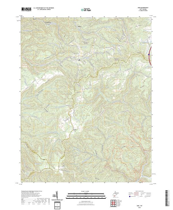
2023 Odd
Raleigh County, WV