1968 Map of Odd
USGS Topo · Published 1977About this map
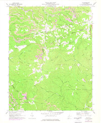
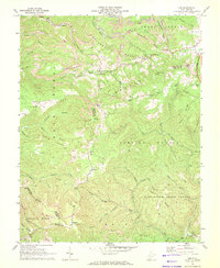
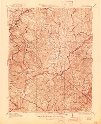
Strip mines and excavation sites dominate the northern peaks of this Raleigh County terrain, illustrating the intensive industrial extraction occurring during the late 1960s. High ridges like Devils Backbone and Guyandotte Mountain overlook narrow hollows where small communities such as Odd and Josephine are situated. The landscape is a study in contrasting land use, where the industrial activity of the north gives way to the protected timberlands of Camp Creek State Forest in the south. Transportation and infrastructure are central to the area's development, marked by the prominent path of the West Virginia Turnpike and various utility pipelines. Local life is anchored by numerous rural congregations, including Good Hope Ch and Mountain Valley Ch, which serve as landmarks for genealogists tracing family locations in these mountain gaps.
Find a feature on this map
56 named features on this map. Tap any name to fly to it.
Don’t see what you’re looking for? This feature index may not catch every label — zoom into the map to look around manually.
Map Details
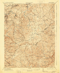
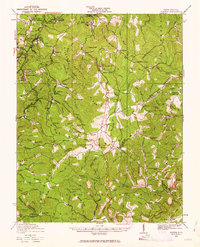
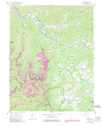
Editions of this 1968 Odd Map
2 editions found
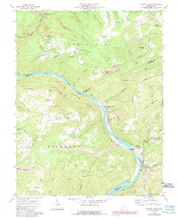
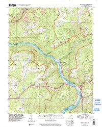
Historical Maps of Egeria Through Time
12 maps found

1911 Flattop
Raleigh County, WV

1911 Marshes
Raleigh County, WV
1914 Flattop
Raleigh County, WV
1929 Flattop
Raleigh County, WV
1932 Flattop
Raleigh County, WV
1964 Arnett
Raleigh County, WV
1968 Odd
Raleigh County, WV
1969 Meadow Creek
Raleigh County, WV
1996 Meadow Creek
Raleigh County, WV
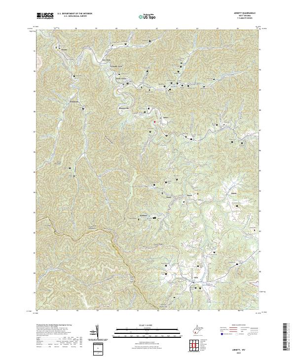
2023 Arnett
Raleigh County, WV
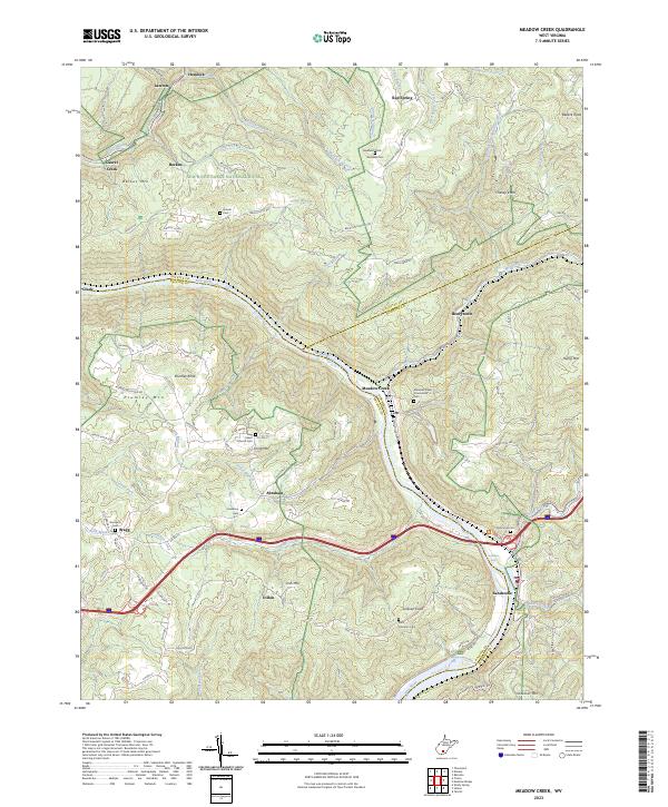
2023 Meadow Creek
Raleigh County, WV
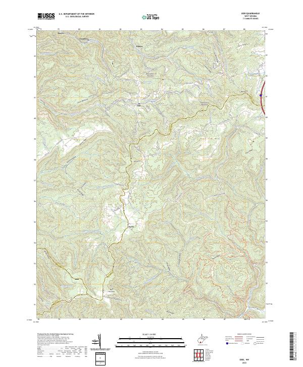
2023 Odd
Raleigh County, WV