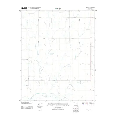
2012 Map of Arnett SE
USGS Topo · Published 2012About this map
Grand Cem serves as a significant historical anchor in this portion of Ellis County, situated north of the Canadian River. The landscape is defined by a dense network of seasonal and perennial drainage systems, including Red Bluff Cr, W Red Bluff Cr, and Mosquito Cr, which carve through the plains. This 2012 topographic record shows a rural environment organized by a strict section-line road grid, where routes like n1790 RD and e0640 RD facilitate travel between scattered agricultural holdings. The presence of the Parker Number 1-Reservoir highlights local water management efforts in this arid region. For researchers, the map provides precise locations for family burial sites and the intricate relationship between the local hydrology and the highway corridor along US Route 283.
Find a feature on this map
25 named features on this map. Tap any name to fly to it.
Don’t see what you’re looking for? This feature index may not catch every label — zoom into the map to look around manually.
Map Details
Editions of this 2012 Arnett SE Map
This is the sole edition of this map. No revisions or reprints were ever made.
Other maps of this area

1955 · Clinton
USGS Topo · 1:250,000

1955 · Woodward
USGS Topo · 1:250,000

1957 · Clinton
USGS Topo · 1:250,000

1958 · Woodward
USGS Topo · 1:250,000

1965 · Roll NW
USGS Topo · 1:24,000

1966 · Antelope Hills NE
USGS Topo · 1:24,000

1966 · Antelope Hills
USGS Topo · 1:24,000

1970 · Arnett
USGS Topo · 1:24,000

1970 · Arnett SE
USGS Topo · 1:24,000

1970 · Harmon SW
USGS Topo · 1:24,000