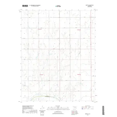
2018 Map of Arnett SE
USGS Topo · Published 2018About this map
The Canadian River cuts along the southern boundary of this Ellis County landscape, marking the divide at Ellis Co Roger Mills Co. The terrain is defined by a dendritic network of drainages including Red Bluff Cr, W Red Bluff Cr, and Mosquito Cr, which flow south toward the river valley. For those researching local family history, the Grand Cem is a primary landmark situated near the center of the southern sections. The map reveals a transition between managed water resources, such as the Parker Number 1 Reservoir, and the traditional grid of county roads like E0630 Rd and NS 179 Rd. The presence of Pasture Trail Rd suggests the enduring ranching character of this region of western Oklahoma.
Find a feature on this map
37 named features on this map. Tap any name to fly to it.
Don’t see what you’re looking for? This feature index may not catch every label — zoom into the map to look around manually.
Map Details
Editions of this 2018 Arnett SE Map
This is the sole edition of this map. No revisions or reprints were ever made.
Other maps of this area

1955 · Clinton
USGS Topo · 1:250,000

1955 · Woodward
USGS Topo · 1:250,000

1957 · Clinton
USGS Topo · 1:250,000

1958 · Woodward
USGS Topo · 1:250,000

1965 · Roll NW
USGS Topo · 1:24,000

1966 · Antelope Hills NE
USGS Topo · 1:24,000

1966 · Antelope Hills
USGS Topo · 1:24,000

1970 · Arnett
USGS Topo · 1:24,000

1970 · Arnett SE
USGS Topo · 1:24,000

1970 · Harmon SW
USGS Topo · 1:24,000