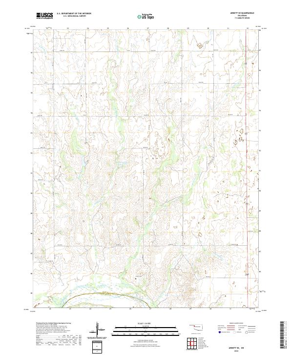
2022 Map of Arnett SE
USGS Topo · Published 2022About this map
Grand Cem sits as a quiet landmark above the northern banks of the Canadian River, marking the historical geography of this section of the Oklahoma Panhandle borderlands. This 2022 survey details the undulating drainage systems where Red Bluff Cr, W Red Bluff Cr, and Mosquito Cr carve through the high plains toward the river valley. The landscape is defined by its section-line road network, such as e0640 RD and e0680 RD, which trace the grid of the Public Land Survey System across the Ellis and Roger Mills County line. The presence of Parker Number 1 Reservoir and the winding path of Little Turkey Cr illustrate the vital role of water management in this agricultural and ranching environment.
Find a feature on this map
22 named features on this map. Tap any name to fly to it.
Don’t see what you’re looking for? This feature index may not catch every label — zoom into the map to look around manually.
Map Details
Editions of this 2022 Arnett SE Map
This is the sole edition of this map. No revisions or reprints were ever made.
Other maps of this area

1955 · Clinton
USGS Topo · 1:250,000

1955 · Woodward
USGS Topo · 1:250,000

1957 · Clinton
USGS Topo · 1:250,000

1958 · Woodward
USGS Topo · 1:250,000

1965 · Roll NW
USGS Topo · 1:24,000

1966 · Antelope Hills NE
USGS Topo · 1:24,000

1966 · Antelope Hills
USGS Topo · 1:24,000

1970 · Arnett
USGS Topo · 1:24,000

1970 · Arnett SE
USGS Topo · 1:24,000

1970 · Harmon SW
USGS Topo · 1:24,000