
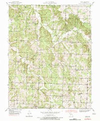
1939 Map of Arnica
USGS Topo · Published 1965About this map
The settlement of Arnica and the surrounding borderlands of Cedar, St. Clair, and Polk counties are captured here just before the mid-century. This 1939 survey, conducted by W. D. Phillips and I. E. Nelson, reveals a landscape defined by an exceptionally dense network of rural infrastructure, including many small schools like Harvard Sch, Prairie Mound Sch, and Liberty Sch that served the dispersed farming families of Washington and Jefferson townships.
Find a feature on this map
32 named features on this map. Tap any name to fly to it.
Don’t see what you’re looking for? This feature index may not catch every label — zoom into the map to look around manually.
Map Details
Editions of this 1939 Arnica Map
2 editions found
Other maps of this area

1886 · Stockton
USGS Topo · 1:125,000

1938 · Roscoe
USGS Topo · 1:24,000

1938 · Vista
USGS Topo · 1:24,000

1939 · Caplinger Mills
USGS Topo · 1:24,000

1940 · Roscoe
USGS Topo · 1:24,000

1940 · Vista
USGS Topo · 1:24,000

1940 · Weaubleau
USGS Topo · 1:24,000

1941 · Caplinger Mills
USGS Topo · 1:24,000

1941 · Arnica
USGS Topo · 1:24,000

1944 · Humansville
USGS Topo · 1:24,000