
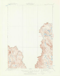
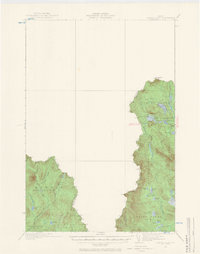
1932 Map of Arnold Pond
USGS Topo · Published 1932About this map
The Canada United States international boundary defines this high-country landscape in the early 1930s, where the Maine townships of Coburn Gore and Seven Ponds meet the Quebec border. The primary artery through this wilderness is State Highway No 143, which passes through the U S Customs post near Arnold Pond. This region is defined by its complex hydrology, featuring numerous high-altitude water bodies such as Crosby Pond, Big Island Pond, and Horseshoe Pond that feed into systems like the First East Branch Magalloway River. The presence of the South Boundary Road and various named brooks like Gold Brook and McKie Brook suggest a landscape managed for timber or border security. High points like Louise Mtn and Twin Peaks tower over the surrounding bogs and ponds, illustrating the challenging terrain surveyors from the U.S. Geological Survey and the International Boundary Commission documented using early aerial photography.
Find a feature on this map
35 named features on this map. Tap any name to fly to it.
Don’t see what you’re looking for? This feature index may not catch every label — zoom into the map to look around manually.
Map Details
Editions of this 1932 Arnold Pond Map
3 editions found
Other maps of this area

1927 · Moose Bog
USGS Topo · 1:48,000

1927 · Second Lake
USGS Topo · 1:62,500

1928 · Chain Lakes
USGS Topo · 1:48,000

1928 · Skinner
USGS Topo · 1:48,000

1931 · Cupsuptic
USGS Topo · 1:48,000

1931 · Skinner
USGS Topo · 1:62,500

1931 · Moose Bog
USGS Topo · 1:62,500

1932 · Kennebago Lake
USGS Topo · 1:48,000

1932 · Second Lake
USGS Topo · 1:62,500

1932 · Chain Lakes
USGS Topo · 1:62,500